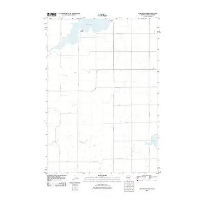
2010 Map of Lake Benton NW
USGS Topo · Published 2010About this map
Lake Hendricks dominates the northern border of this 2010 survey, straddling the line between Minnesota and South Dakota. This rural landscape in Lincoln County is defined by a grid of agricultural section lines and County Highways that connect isolated farmsteads and points of local heritage. The terrain is marked by gentle drainage patterns where Deer Creek flows through the western portion of the quadrangle. Genealogists and local historians will find significant markers of early settlement at Hendricks Cemetery and Trulock Cemetery, which serve as quiet anchors for the surrounding rural community. To the southeast, the waters of Lake Shaokatan reach into the map area, illustrating the glacial lakes characteristic of this region. The map captures a moment of modern rural infrastructure, showing the established network of roads like County Hwy-1 and County Hwy-16 that link these prairie townships.
Find a feature on this map
21 named features on this map. Tap any name to fly to it.
Don’t see what you’re looking for? This feature index may not catch every label — zoom into the map to look around manually.
Map Details
Editions of this 2010 Lake Benton NW Map
This is the sole edition of this map. No revisions or reprints were ever made.
Other maps of this area

1953 · Watertown
USGS Topo · 1:250,000

1958 · Watertown
USGS Topo · 1:250,000

1967 · Lake Benton NW
USGS Topo · 1:24,000

1967 · Lake Benton
USGS Topo · 1:24,000

1967 · Canby SE
USGS Topo · 1:24,000

1967 · Lake Benton SW
USGS Topo · 1:24,000

1967 · Hendricks
USGS Topo · 1:24,000

1967 · Lake Benton NE
USGS Topo · 1:24,000

1970 · White NE
USGS Topo · 1:24,000

1970 · Astoria
USGS Topo · 1:24,000