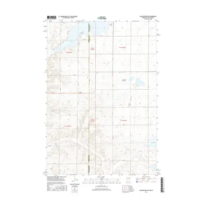
2016 Map of Lake Benton NW
USGS Topo · Published 2016About this map
The rolling highlands of the Coteau des Prairies dominate this 2016 survey along the border of Brookings County, South Dakota, and Lincoln County, Minnesota. This topographic study documents the agricultural and hydrological layout of the region, anchored by the waters of Lake Hendricks in the northwest and Lake Shaokatan in the southeast. A network of section-line roads such as 487th Ave and Co Rd 14 defines the rural landscape, connecting isolated homesteads and small family burial sites. Genealogists and local historians can find several established grounds, including Trulock Cem near the state line, Hendricks Cem to the north, and New Grove Cem situated in the eastern portion of the quadrangle. The map also traces the upper reaches of Deer Cr, illustrating the drainage patterns of this high prairie plateau.
Find a feature on this map
33 named features on this map. Tap any name to fly to it.
Don’t see what you’re looking for? This feature index may not catch every label — zoom into the map to look around manually.
Map Details
Editions of this 2016 Lake Benton NW Map
This is the sole edition of this map. No revisions or reprints were ever made.
Other maps of this area

1953 · Watertown
USGS Topo · 1:250,000

1958 · Watertown
USGS Topo · 1:250,000

1967 · Lake Benton NW
USGS Topo · 1:24,000

1967 · Lake Benton
USGS Topo · 1:24,000

1967 · Canby SE
USGS Topo · 1:24,000

1967 · Lake Benton SW
USGS Topo · 1:24,000

1967 · Hendricks
USGS Topo · 1:24,000

1967 · Lake Benton NE
USGS Topo · 1:24,000

1970 · White NE
USGS Topo · 1:24,000

1970 · Astoria
USGS Topo · 1:24,000