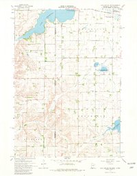
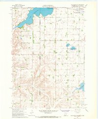
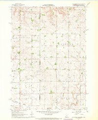
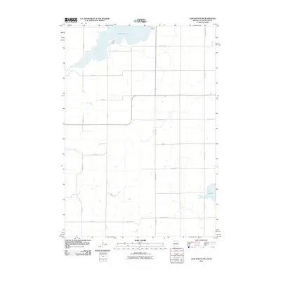
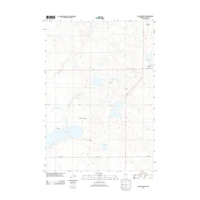
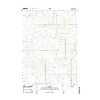
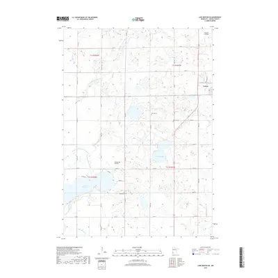
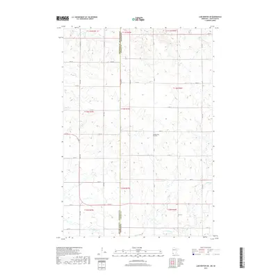
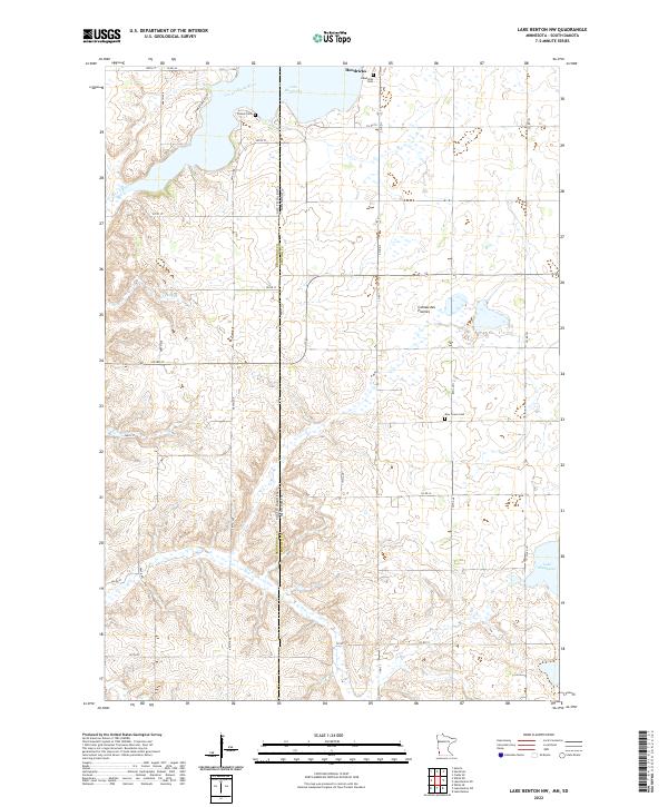
1967 Map of Lake Benton NW
USGS Topo · Published 1981About this map
Lake Hendricks straddles the border between Minnesota and South Dakota, serving as the dominant geographic focus of this late 1960s landscape. The lake is surrounded by a mix of recreational and conservation lands, including the Lake Hendricks State Recreation Area and the Hendricks State Wildlife Management Area. The town of Hendricks sits on the northern shore, its Corporate Boundary meeting the water's edge and the tracks of the Chicago and North Western railroad.
Find a feature on this map
19 named features on this map. Tap any name to fly to it.
Don’t see what you’re looking for? This feature index may not catch every label — zoom into the map to look around manually.
Map Details
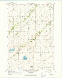
Editions of this 1967 Lake Benton NW Map
2 editions found
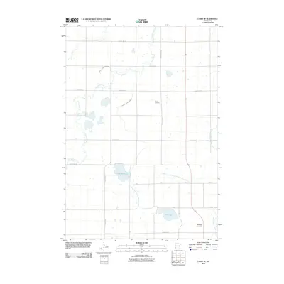
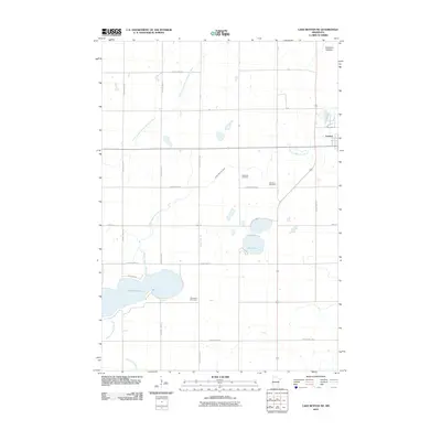
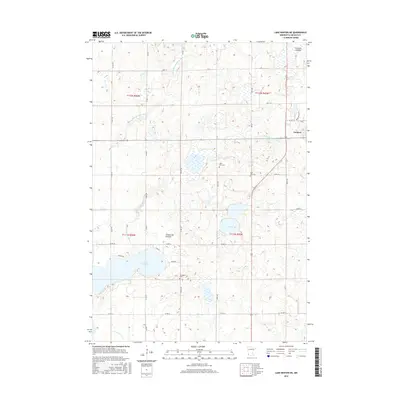
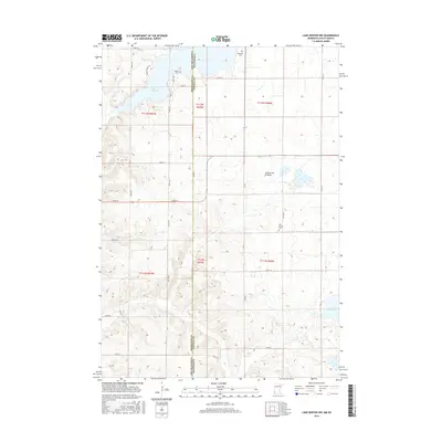
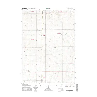
Historical Maps of Hendricks Through Time
30 maps found
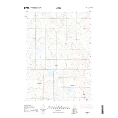
1967 Canby SE
Lincoln County, MN
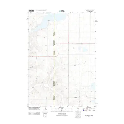
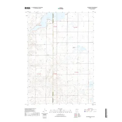
1967 Lake Benton NE
Lincoln County, MN
1967 Lake Benton NW
Lincoln County, MN
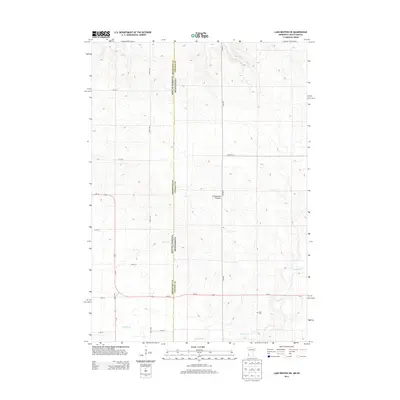
1967 Lake Benton SW
Lincoln County, MN
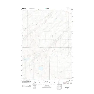
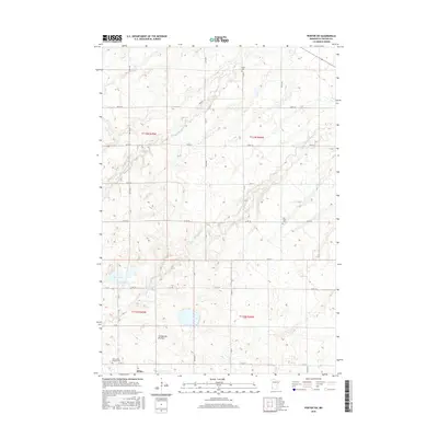
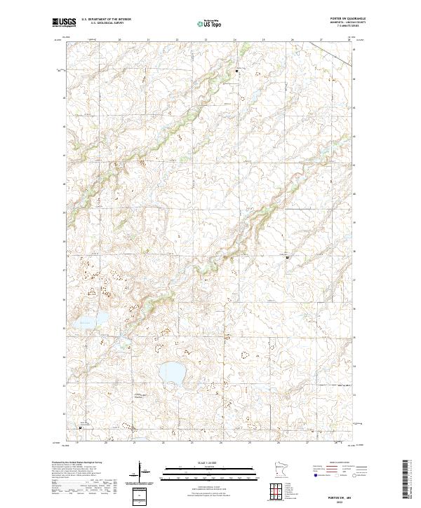
1967 Porter SW
Lincoln County, MN
2010 Canby SE
Lincoln County, MN
2010 Lake Benton NE
Lincoln County, MN
2010 Lake Benton NW
Lincoln County, MN
2010 Lake Benton SW
Lincoln County, MN
2010 Porter SW
Lincoln County, MN
2013 Canby SE
Lincoln County, MN
2013 Lake Benton NE
Lincoln County, MN
2013 Lake Benton NW
Lincoln County, MN
2013 Lake Benton SW
Lincoln County, MN
2013 Porter SW
Lincoln County, MN
2016 Canby SE
Lincoln County, MN
2016 Lake Benton NE
Lincoln County, MN
2016 Lake Benton NW
Lincoln County, MN
2016 Lake Benton SW
Lincoln County, MN
2016 Porter SW
Lincoln County, MN
2019 Canby SE
Lincoln County, MN
2019 Lake Benton NE
Lincoln County, MN
2019 Lake Benton NW
Lincoln County, MN
2019 Lake Benton SW
Lincoln County, MN
2019 Porter SW
Lincoln County, MN
2022 Canby SE
Lincoln County, MN
2022 Lake Benton NE
Lincoln County, MN
2022 Lake Benton NW
Lincoln County, MN

2022 Lake Benton SW
Lincoln County, MN
2022 Porter SW
Lincoln County, MN