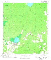
1966 Map of Lake Butler
USGS Topo · Published 1967About this map
Lake Butler serves as the primary hub of this North Florida landscape, where the intersection of the Atlantic Coast Line and Southern railroads defined the local economy during the mid-1960s. The town site includes a High Sch, the Lakeside Park recreation area, and several family-named burial grounds like Dekle Cem. To the north and east, the terrain is dominated by expansive wetlands including Swift Creek Swamp, Granny Bay, and Turkey Creek Swamp. Small rural settlements and places of worship such as Danville and Mt Zion Ch are scattered throughout the piney woods and creek basins. The mapping detail highlights a transition from established town life to the remote drainage systems of the New River and Richard Creek, providing a clear look at the region's historical hydrology before modern development patterns fully took hold.
Find a feature on this map
30 named features on this map. Tap any name to fly to it.
Don’t see what you’re looking for? This feature index may not catch every label — zoom into the map to look around manually.
Map Details
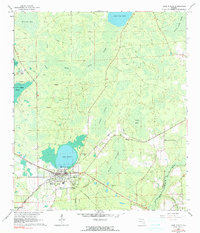
Editions of this 1966 Lake Butler Map
3 editions found

Other maps of this area

1918 · Lawtey
USGS Topo · 1:62,500

1941 · Starke
USGS Topo · 1:62,500

1948 · Starke
USGS Topo · 1:50,000

1949 · Sampson
USGS Topo · 1:24,000

1949 · Starke
USGS Topo · 1:62,500

1954 · Gainesville
USGS Topo · 1:250,000

1954 · Valdosta
USGS Topo · 1:250,000

1958 · Valdosta
USGS Topo · 1:250,000

1958 · Gainesville
USGS Topo · 1:250,000

1959 · Valdosta
USGS Topo · 1:250,000