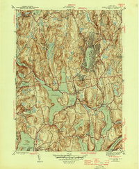
1944 Map of Lake Carmel
USGS Topo · Published 1944About this map
The New York Central corridor anchors this mid-century topographic record, tracing the complex water management infrastructure of Putnam County. The landscape is defined by the massive West Branch Reservoir and Croton Falls Reservoir, which submerged earlier valley floors. Cultural landmarks like Drew Seminary and the prominent Tilly Foster Mine show the intersection of local education and industry, while scattered hamlets such as Farmers Mills, Kent Corners, and Tilly Foster indicate the distribution of rural life during the 1940s.
Find a feature on this map
56 named features on this map. Tap any name to fly to it.
Don’t see what you’re looking for? This feature index may not catch every label — zoom into the map to look around manually.
Map Details
Editions of this 1944 Lake Carmel Map
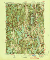
2 editions found
Other maps of this area

1892 · West Point
USGS Topo · 1:62,500

1892 · Carmel
USGS Topo · 1:62,500

1893 · Carmel
USGS Topo · 1:62,500

1893 · Clove
USGS Topo · 1:62,500

1893 · Poughkeepsie
USGS Topo · 1:62,500

1894 · West Point
USGS Topo · 1:62,500

1894 · Clove
USGS Topo · 1:62,500

1894 · Carmel
USGS Topo · 1:62,500

1894 · Poughkeepsie
USGS Topo · 1:62,500

1898 · Clove
USGS Topo · 1:62,500