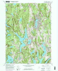
1960 Map of Lake Carmel
USGS Topo · Published 1982About this map
Carmel serves as the focal point of this Putnam County landscape, situated between the waters of Lake Gleneida and the sprawling West Branch Reservoir. The map illustrates a mid-century transition as established hamlets like Farmers Mills, Kent Corners, and Crafts adapt to the expanding suburban infrastructure of the lower Hudson Valley. Notable religious and educational landmarks are scattered throughout, including the Hermitage of Our Lady of Kursk and St James the Apostle Sch.
Find a feature on this map
104 named features on this map. Tap any name to fly to it.
Don’t see what you’re looking for? This feature index may not catch every label — zoom into the map to look around manually.
Map Details
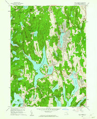
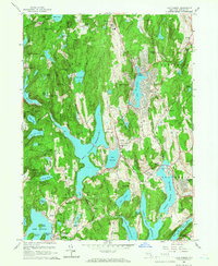
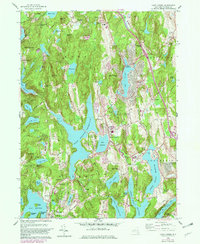
Editions of this 1960 Lake Carmel Map
4 editions found
Other maps of this area

1892 · West Point
USGS Topo · 1:62,500

1892 · Carmel
USGS Topo · 1:62,500

1893 · Carmel
USGS Topo · 1:62,500

1893 · Clove
USGS Topo · 1:62,500

1893 · Poughkeepsie
USGS Topo · 1:62,500

1894 · West Point
USGS Topo · 1:62,500

1894 · Clove
USGS Topo · 1:62,500

1894 · Carmel
USGS Topo · 1:62,500

1894 · Poughkeepsie
USGS Topo · 1:62,500

1898 · Clove
USGS Topo · 1:62,500