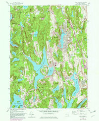
1960 Map of Lake Carmel
USGS Topo · Published 1982About this map
West Branch Reservoir and the surrounding watersheds of the Carmel and Kent districts dominate this 1960 revision, which reflects the significant infrastructure of the Croton water system. The landscape is defined by its numerous reservoirs and natural lakes, including Lake Gleneida and Lake Gilead, interspersed with small hills like Nimham Mount and Mount Pisgah. The map illustrates a period of mid-century residential expansion, visible in developments such as Carmel Park Estates and Brewster Heights, while maintaining ties to its rural past through numerous private clubs like the Gipsy Trail Club and Sedgewood Club.
Find a feature on this map
85 named features on this map. Tap any name to fly to it.
Don’t see what you’re looking for? This feature index may not catch every label — zoom into the map to look around manually.
Map Details
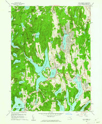
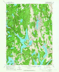
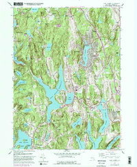
Editions of this 1960 Lake Carmel Map
4 editions found
Other maps of this area

1892 · West Point
USGS Topo · 1:62,500

1892 · Carmel
USGS Topo · 1:62,500

1893 · Carmel
USGS Topo · 1:62,500

1893 · Clove
USGS Topo · 1:62,500

1893 · Poughkeepsie
USGS Topo · 1:62,500

1894 · West Point
USGS Topo · 1:62,500

1894 · Clove
USGS Topo · 1:62,500

1894 · Carmel
USGS Topo · 1:62,500

1894 · Poughkeepsie
USGS Topo · 1:62,500

1898 · Clove
USGS Topo · 1:62,500