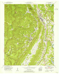
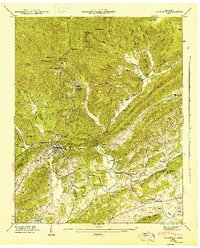
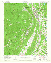
1952 Map of Lake City
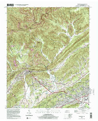
USGS Topo · Published 1955This historical map portrays the area of Lake City in 1952, primarily covering Anderson County as well as portions of Campbell County. Featuring a scale of 1:24000, this map provides a highly detailed snapshot of the terrain, roads, buildings, counties, and historical landmarks in the Lake City region at the time. Published in 1955, it is one of 2 known editions of this map due to revisions or reprints.
Find a feature on this map
78 named features on this map. Tap any name to fly to it.
Don’t see what you’re looking for? This feature index may not catch every label — zoom into the map to look around manually.
Map Details
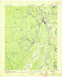
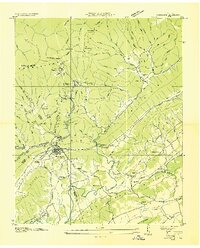
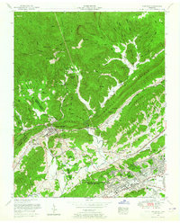
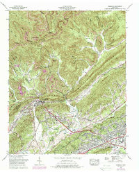
Editions of this 1952 Lake City Map
2 editions found
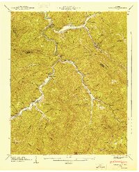
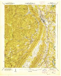
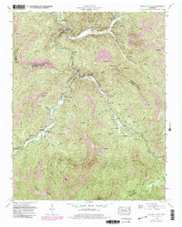
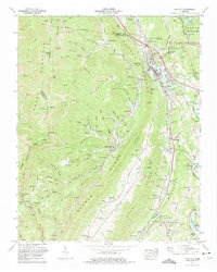
Historical Maps of Cumberland View Estates Through Time
13 maps found
1936 Coal Creek
Anderson County, TN
1936 Duncan Flats
Anderson County, TN

1936 Norris Dam
Anderson County, TN
1936 Windrock
Anderson County, TN
1946 Windrock
Anderson County, TN
1947 Duncan Flats
Anderson County, TN
1947 Lake City
Anderson County, TN
1952 Duncan Flats
Anderson County, TN
1952 Lake City
Anderson County, TN
1952 Windrock
Anderson County, TN
1968 Windrock
Anderson County, TN
1973 Lake City
Anderson County, TN
2000 Windrock
Anderson County, TN