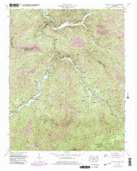
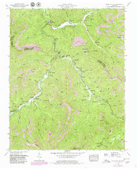
1952 Map of Duncan Flats
USGS Topo · Published 1980About this map
Smoky Mountain and Buffalo Mountain frame a landscape defined by the deep valleys of the New River and its numerous tributaries. This survey captures a remote region of the Cumberland Plateau at a transition point, where traditional settlements like Stainville and Rosedale sit alongside growing industrial activity. Extensive Strip Mines are mapped throughout the terrain, particularly on the ridges of Red Oak Mountain and Daugherty Ridge.
Find a feature on this map
77 named features on this map. Tap any name to fly to it.
Don’t see what you’re looking for? This feature index may not catch every label — zoom into the map to look around manually.
Map Details
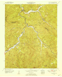
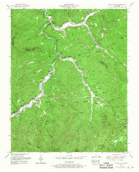
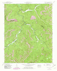
Editions of this 1952 Duncan Flats Map
5 editions found
Other maps of this area

1893 · Briceville
USGS Topo · 1:125,000

1895 · Briceville
USGS Topo · 1:125,000

1896 · Briceville
USGS Topo · 1:125,000

1936 · Hogbell Gap
USGS Topo · 1:24,000

1936 · Block
USGS Topo · 1:24,000

1936 · Jacksboro
USGS Topo · 1:24,000

1936 · Duncan Flats
USGS Topo · 1:24,000

1936 · Windrock
USGS Topo · 1:24,000

1936 · La Follette
USGS Topo · 1:48,000

1936 · Norris Dam
USGS Topo · 1:48,000