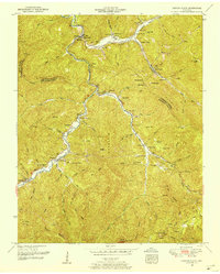
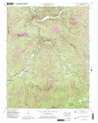
1952 Map of Duncan Flats
USGS Topo · Published 1954About this map
The Tennessee RR winds through the narrow river valleys of Anderson, Scott, and Campbell counties in this 1952 study, connecting mountain settlements like Clinchmore and Stainville. The landscape is defined by the sharp relief of Buffalo Mountain and Red Oak Ridge, where timber and coal extraction shaped the placement of temporary outposts like Welch Camp and Gennett Camp.
Find a feature on this map
84 named features on this map. Tap any name to fly to it.
Don’t see what you’re looking for? This feature index may not catch every label — zoom into the map to look around manually.
Map Details
Editions of this 1952 Duncan Flats Map
5 editions found
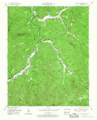
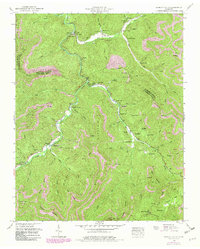
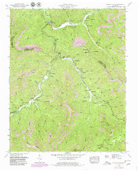
Other maps of this area

1893 · Briceville
USGS Topo · 1:125,000

1895 · Briceville
USGS Topo · 1:125,000

1896 · Briceville
USGS Topo · 1:125,000

1936 · Hogbell Gap
USGS Topo · 1:24,000

1936 · Block
USGS Topo · 1:24,000

1936 · Jacksboro
USGS Topo · 1:24,000

1936 · Duncan Flats
USGS Topo · 1:24,000

1936 · Windrock
USGS Topo · 1:24,000

1936 · La Follette
USGS Topo · 1:48,000

1936 · Norris Dam
USGS Topo · 1:48,000