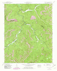
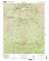
1952 Map of Duncan Flats
USGS Topo · Published 1980About this map
New River carves a deep path through the Cumberland Mountains in this mid-century topographic record, where the landscape is defined by the intersection of steep ridgelines and the emerging coal industry. Settlement patterns follow the narrow creek beds, with small communities like Stainville and Clinchmore tucked into the valleys. The map reveals an extensive network of extractive industry, with numerous Strip Mines and bench cuts scarring the slopes of Red Oak Mountain and Buffalo Mountain.
Find a feature on this map
85 named features on this map. Tap any name to fly to it.
Don’t see what you’re looking for? This feature index may not catch every label — zoom into the map to look around manually.
Map Details
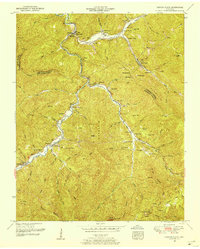
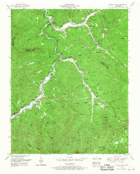
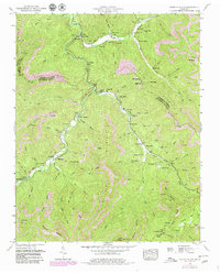
Editions of this 1952 Duncan Flats Map
5 editions found
Other maps of this area

1893 · Briceville
USGS Topo · 1:125,000

1895 · Briceville
USGS Topo · 1:125,000

1896 · Briceville
USGS Topo · 1:125,000

1936 · Hogbell Gap
USGS Topo · 1:24,000

1936 · Block
USGS Topo · 1:24,000

1936 · Jacksboro
USGS Topo · 1:24,000

1936 · Duncan Flats
USGS Topo · 1:24,000

1936 · Windrock
USGS Topo · 1:24,000

1936 · La Follette
USGS Topo · 1:48,000

1936 · Norris Dam
USGS Topo · 1:48,000