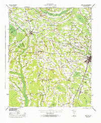
1946 Map of Lake City
USGS Topo · Published 1946About this map
The Lynches River and numerous wetland "bays" define this South Carolina landscape, which reflects a mid-century agricultural economy transitioning toward modern connectivity. In 1946, Lake City serves as the regional hub, situated at the junction of several key roads and the Atlantic Coast Line railroad. The map reveals a dense network of rural communities centered on church and school intersections, such as Hebron Crossroads, McKenzie Crossroads, and Byrds Crossroads.
Find a feature on this map
103 named features on this map. Tap any name to fly to it.
Don’t see what you’re looking for? This feature index may not catch every label — zoom into the map to look around manually.
Map Details
Editions of this 1946 Lake City Map
This is the sole edition of this map. No revisions or reprints were ever made.
Other maps of this area
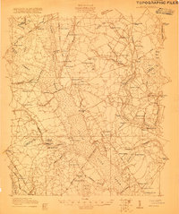
1920 · Mayesville
USGS Topo · 1:48,000
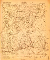
1920 · Manning
USGS Topo · 1:48,000
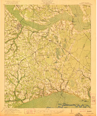
1921 · Manning
USGS Topo · 1:62,500
1921 · Mayesville
USGS Topo · 1:62,500
1940 · Florence West
USGS Topo · 1:62,500
1940 · Florence East
USGS Topo · 1:62,500

1941 · Spartanburg
USGS Topo · 1:250,000
1943 · Mayesville
USGS Topo · 1:62,500
1944 · Manning
USGS Topo · 1:62,500
1945 · Florence East
USGS Topo · 1:62,500