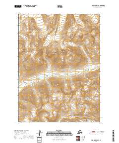
2018 Map of Lake Clark A-2 SE
USGS Topo · Published 2018About this map
Lake Clark National Park dominates the mountainous terrain of the Kenai Peninsula in this 2018 survey. The landscape is defined by its dramatic drainage systems, specifically the Pile River which winds through the southern and central sections of the quadrangle. In the northwestern corner, Brooks Cr cuts through the high-elevation contours, illustrating the complex hydrology of this protected wilderness. The map details the precise township and range boundaries including t1s r25w, t1s r24w, t2s r25w, and t2s r24w. This sheet provides a modern topographic record of a largely untouched region where the transition from high peaks to river valleys is meticulously documented through dense contour intervals.
Find a feature on this map
7 named features on this map. Tap any name to fly to it.
Don’t see what you’re looking for? This feature index may not catch every label — zoom into the map to look around manually.
Map Details
Editions of this 2018 Lake Clark A-2 SE Map
This is the sole edition of this map. No revisions or reprints were ever made.
Other maps of this area

1946 · Lake Clark
USGS Topo · 1:250,000

1951 · Lake Clark
USGS Topo · 1:250,000

1952 · Iliamna
USGS Topo · 1:250,000

1957 · Iliamna
USGS Topo · 1:250,000

1958 · Iliamna D-2
USGS Topo · 1:63,360

1958 · Iliamna D-1
USGS Topo · 1:63,360

1958 · Lake Clark A-1
USGS Topo · 1:63,360
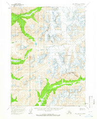
1958 · Lake Clark A-2
USGS Topo · 1:63,360

1958 · Lake Clark
USGS Topo · 1:250,000
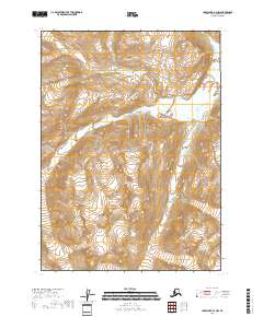
2018 · Lake Clark A-1 NW
USGS Topo · 1:25,000