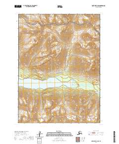
2020 Map of Lake Clark A-3 SW
USGS Topo · Published 2020About this map
Upper Tazimina Lake and the Tazimina River anchor the center of this landscape, marking a vital hydrographic corridor within the Lake and Peninsula Borough. The transition between the Lake Clark National Park in the north and the Lake Clark National Preserve further south illustrates the administrative management of this wilderness area. The map provides a detailed view of the high-elevation terrain surrounding the water system, including the drainage of Takoka Cr in the northwest. This 2020 survey is an essential resource for understanding the contemporary topography and protected boundaries of this remote region, where the natural water flow through the Tazimina system remains the primary geographic feature.
Find a feature on this map
9 named features on this map. Tap any name to fly to it.
Don’t see what you’re looking for? This feature index may not catch every label — zoom into the map to look around manually.
Map Details
Editions of this 2020 Lake Clark A-3 SW Map
This is the sole edition of this map. No revisions or reprints were ever made.
Other maps of this area

1946 · Lake Clark
USGS Topo · 1:250,000

1951 · Lake Clark
USGS Topo · 1:250,000

1952 · Iliamna
USGS Topo · 1:250,000

1954 · Lake Clark A-3
USGS Topo · 1:63,360

1954 · Iliamna D-3
USGS Topo · 1:63,360

1954 · Iliamna D-4
USGS Topo · 1:63,360

1954 · Lake Clark A-4
USGS Topo · 1:63,360

1957 · Iliamna
USGS Topo · 1:250,000

1958 · Lake Clark
USGS Topo · 1:250,000
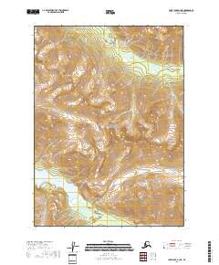
2018 · Lake Clark A-3 NE
USGS Topo · 1:25,000