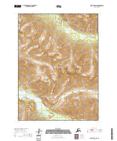
2018 Map of Lake Clark A-3 NE
USGS Topo · Published 2018About this map
Lake Clark National Park encompasses this high-altitude landscape in the Lake and Peninsula Borough, where dramatic elevation changes define the topography. The southwestern corner is dominated by the deep waters of Kontrashibuna Lake, which sits at the base of steep slopes. These vertical rises culminate at Copper Mtn, a prominent peak overlooking the surrounding drainages. The hydrology of the area is shaped by glacial and alpine runoff, notably through S Currant Cr in the north and Ospihok Cr, which feeds into the larger lake system. Further east, the high-elevation Gladiator Basin provides a distinct geographical break between the rugged mountain ridges. This survey illustrates a remote wilderness area during the early twenty-first century, largely untouched by infrastructure but meticulously mapped for its natural features.
Find a feature on this map
12 named features on this map. Tap any name to fly to it.
Don’t see what you’re looking for? This feature index may not catch every label — zoom into the map to look around manually.
Map Details
Editions of this 2018 Lake Clark A-3 NE Map
This is the sole edition of this map. No revisions or reprints were ever made.
Other maps of this area

1946 · Lake Clark
USGS Topo · 1:250,000

1951 · Lake Clark
USGS Topo · 1:250,000

1954 · Lake Clark A-3
USGS Topo · 1:63,360

1954 · Lake Clark B-3
USGS Topo · 1:63,360
1958 · Lake Clark A-2
USGS Topo · 1:63,360
1958 · Lake Clark B-2
USGS Topo · 1:63,360

1958 · Lake Clark
USGS Topo · 1:250,000
2018 · Lake Clark B-3 SE
USGS Topo · 1:25,000
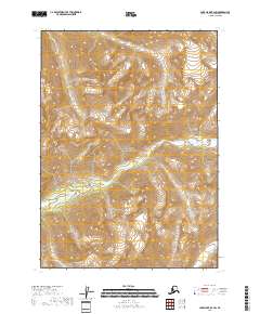
2018 · Lake Clark B-2 SW
USGS Topo · 1:25,000
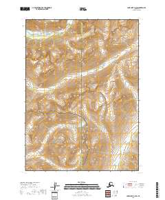
2018 · Lake Clark A-2 SW
USGS Topo · 1:25,000