
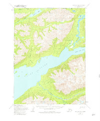
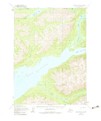
1954 Map of Lake Clark B-3
USGS Topo · Published 1965About this map
Lake Clark dominates this mid-century interior Alaskan survey, serving as a primary corridor through the mountainous terrain between the Chigmit Mountains. The map documents early human movement through the region, evidenced by the Old Village Trail and Native Trail winding through the watershed of Portage Creek. These routes suggest established patterns of travel and subsistence long before more modern infrastructure arrived.
Find a feature on this map
16 named features on this map. Tap any name to fly to it.
Don’t see what you’re looking for? This feature index may not catch every label — zoom into the map to look around manually.
Map Details
Editions of this 1954 Lake Clark B-3 Map
3 editions found
Other maps of this area

1946 · Lake Clark
USGS Topo · 1:250,000

1951 · Lake Clark
USGS Topo · 1:250,000

1954 · Lake Clark C-3
USGS Topo · 1:63,360

1954 · Lake Clark C-4
USGS Topo · 1:63,360

1954 · Lake Clark A-3
USGS Topo · 1:63,360

1954 · Lake Clark A-4
USGS Topo · 1:63,360

1954 · Lake Clark B-4
USGS Topo · 1:63,360

1958 · Lake Clark C-2
USGS Topo · 1:63,360
1958 · Lake Clark A-2
USGS Topo · 1:63,360
1958 · Lake Clark B-2
USGS Topo · 1:63,360