
1954 Map of Lake Clark C-4
USGS Topo · Published 1965About this map
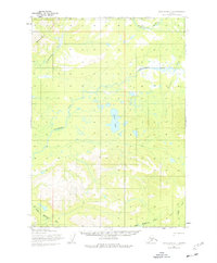
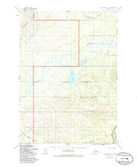
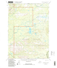
The Mulchatna River and Chilikadrotna River converge in this remote Alaska interior landscape, surveyed during the mid-1950s. The terrain is defined by its complex waterway network, including the Little Mulchatna River and College Creek, which drain the glacial valleys and uplands. A rare trace of human passage is found in the Native Trail, which skirts the southern portion of the quadrangle, indicating established travel routes used by local populations prior to modern infrastructure. This 1954 data reflects a region where land lines remained unsurveyed and unmarked, as noted by the Bureau of Land Management. The prominent Snipe Lake sits centrally as a major landmark amidst the numerous unnamed ponds and drainage basins that characterize this portion of the Lake and Peninsula Borough.
Find a feature on this map
6 named features on this map. Tap any name to fly to it.
Don’t see what you’re looking for? This feature index may not catch every label — zoom into the map to look around manually.
Map Details
Editions of this 1954 Lake Clark C-4 Map
4 editions found
Other maps of this area

1946 · Lake Clark
USGS Topo · 1:250,000

1951 · Lake Clark
USGS Topo · 1:250,000

1954 · Lake Clark C-3
USGS Topo · 1:63,360

1954 · Lake Clark D-3
USGS Topo · 1:63,360

1954 · Lake Clark B-5
USGS Topo · 1:63,360

1954 · Lake Clark B-3
USGS Topo · 1:63,360

1954 · Lake Clark D-5
USGS Topo · 1:63,360

1954 · Lake Clark C-5
USGS Topo · 1:63,360

1954 · Lake Clark B-4
USGS Topo · 1:63,360

1954 · Lake Clark D-4
USGS Topo · 1:63,360