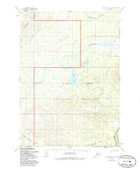
1954 Map of Lake Clark C-4
USGS Topo · Published 1986About this map
The Mulchatna River and Chilikadrotna River dominate this interior Alaskan landscape, which was documented through photogrammetric methods in the mid-1950s. The terrain transitions from the high peaks of the Bonanza Hills in the northwest to the complex wetland and river systems that define the Lake Clark National Preserve. A notable human element is the Native Trail traversing the central portion of the map, providing a glimpse into the historic overland travel routes used before modern aviation and road networks became the primary means of navigation in the bush. Significant water features like Snipe Lake, Little Mulchatna River, and College Creek emphasize the importance of these watersheds within the designated Lake Clark Wilderness boundaries.
Find a feature on this map
10 named features on this map. Tap any name to fly to it.
Don’t see what you’re looking for? This feature index may not catch every label — zoom into the map to look around manually.
Map Details
Editions of this 1954 Lake Clark C-4 Map
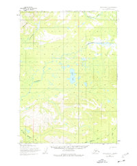
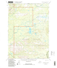
4 editions found
Other maps of this area

1946 · Lake Clark
USGS Topo · 1:250,000

1951 · Lake Clark
USGS Topo · 1:250,000

1954 · Lake Clark C-3
USGS Topo · 1:63,360

1954 · Lake Clark C-4
USGS Topo · 1:63,360

1954 · Lake Clark D-3
USGS Topo · 1:63,360

1954 · Lake Clark B-5
USGS Topo · 1:63,360

1954 · Lake Clark B-3
USGS Topo · 1:63,360

1954 · Lake Clark D-5
USGS Topo · 1:63,360

1954 · Lake Clark C-5
USGS Topo · 1:63,360

1954 · Lake Clark B-4
USGS Topo · 1:63,360