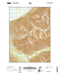
2018 Map of Lake Clark B-3 SE
USGS Topo · Published 2018About this map
Lake Clark National Park encompasses nearly the entire landscape shown in this 2018 survey, reflecting the protected wilderness of the Aleutian Range. The topography is dominated by steep mountain slopes that descend toward the northwestern corner of the map, where the waters of Lake Clark fill the basin. The drainage patterns of the high country are defined by Currant Creek and its tributary, S Currant Cr, which flow through the southeastern valleys. This map captures a pristine corner of the Alaska Peninsula where no roads or permanent settlements are indicated, emphasizing the remote and natural character of the terrain managed by the National Park Service and the Bureau of Land Management.
Find a feature on this map
9 named features on this map. Tap any name to fly to it.
Don’t see what you’re looking for? This feature index may not catch every label — zoom into the map to look around manually.
Map Details
Editions of this 2018 Lake Clark B-3 SE Map
This is the sole edition of this map. No revisions or reprints were ever made.
Other maps of this area

1946 · Lake Clark
USGS Topo · 1:250,000

1951 · Lake Clark
USGS Topo · 1:250,000

1954 · Lake Clark A-3
USGS Topo · 1:63,360

1954 · Lake Clark B-3
USGS Topo · 1:63,360
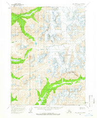
1958 · Lake Clark A-2
USGS Topo · 1:63,360
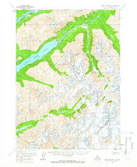
1958 · Lake Clark B-2
USGS Topo · 1:63,360

1958 · Lake Clark
USGS Topo · 1:250,000
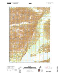
2018 · Lake Clark B-3 NE
USGS Topo · 1:25,000
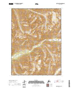
2018 · Lake Clark B-2 SW
USGS Topo · 1:25,000
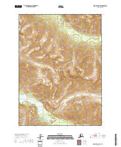
2018 · Lake Clark A-3 NE
USGS Topo · 1:25,000