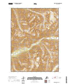
2018 Map of Lake Clark B-2 SW
USGS Topo · Published 2018About this map
Lake Clark National Park dominates this 2018 topographic survey in the Lake and Peninsula Borough of Alaska, showing a landscape defined by dramatic elevation changes and glacial drainage patterns. The primary drainage system is centered on Currant Creek, which flows through the central and southern portions of the quadrangle. High-altitude basins and steep ridgelines are mapped in detail, with smaller tributaries like Currant Cr and S Currant Cr carving through the terrain. The lack of any marked roads, settlements, or structures highlights the wilderness character of this protected interior region, where the U.S. Geological Survey has recorded the raw topography and water networks that dictate movement through the Alaskan backcountry.
Find a feature on this map
8 named features on this map. Tap any name to fly to it.
Don’t see what you’re looking for? This feature index may not catch every label — zoom into the map to look around manually.
Map Details
Editions of this 2018 Lake Clark B-2 SW Map
This is the sole edition of this map. No revisions or reprints were ever made.
Other maps of this area

1946 · Lake Clark
USGS Topo · 1:250,000

1951 · Lake Clark
USGS Topo · 1:250,000

1954 · Lake Clark A-3
USGS Topo · 1:63,360

1954 · Lake Clark B-3
USGS Topo · 1:63,360
1958 · Lake Clark A-2
USGS Topo · 1:63,360
1958 · Lake Clark B-2
USGS Topo · 1:63,360

1958 · Lake Clark
USGS Topo · 1:250,000
2018 · Lake Clark B-3 NE
USGS Topo · 1:25,000
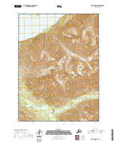
2018 · Lake Clark B-3 SE
USGS Topo · 1:25,000
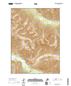
2018 · Lake Clark A-3 NE
USGS Topo · 1:25,000