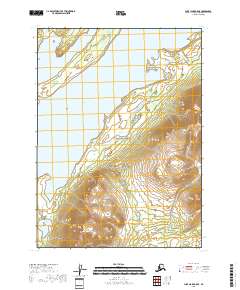
2018 Map of Lake Clark A-5 SE
USGS Topo · Published 2018About this map
Lake Clark National Preserve dominates this coastal and mountain landscape along the eastern shores of Lake Clark. The terrain is defined by prominent shoreline features including Keyes Point and Chi Point, where the land meets the glacial waters of the lake. Small offshore landmarks like Flat Island sit just off the coast, while further inland, the topography rises sharply toward the Aleutian Range foothills. Near the southern edge of the sheet, the Pickerel Lakes sit tucked within the lowland flats, providing a contrast to the high-elevation contours that define the interior of the preserve. This survey reflects the modern boundaries of the wilderness area, showing the intersection of dramatic hydrography and protected federal lands in the Lake and Peninsula Borough.
Find a feature on this map
10 named features on this map. Tap any name to fly to it.
Don’t see what you’re looking for? This feature index may not catch every label — zoom into the map to look around manually.
Map Details
Editions of this 2018 Lake Clark A-5 SE Map
This is the sole edition of this map. No revisions or reprints were ever made.
Other maps of this area

1946 · Lake Clark
USGS Topo · 1:250,000

1951 · Lake Clark
USGS Topo · 1:250,000

1952 · Iliamna
USGS Topo · 1:250,000

1954 · Iliamna D-4
USGS Topo · 1:63,360

1954 · Lake Clark A-4
USGS Topo · 1:63,360

1954 · Lake Clark A-5
USGS Topo · 1:63,360

1954 · Iliamna D-5
USGS Topo · 1:63,360

1957 · Iliamna
USGS Topo · 1:250,000

1958 · Lake Clark
USGS Topo · 1:250,000
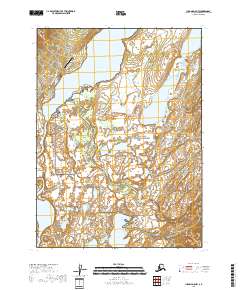
2018 · Iliamna D-5 NW
USGS Topo · 1:25,000