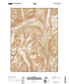
2018 Map of Lake Clark B-1 SW
USGS Topo · Published 2018About this map
The Lake Clark National Park landscape occupies this portion of the Kenai Peninsula, showcasing a vast interior wilderness defined by high-altitude glacial features and dramatic vertical relief. This 2018 survey documents the intricate network of alpine glaciers and permanent snowfields that feed the region's hydrography. The map provides precise topographic data for the townships of t3n r24w, t3n r23w, t2n r24w, and t2n r23w, where the contour lines reveal steep mountain faces and deeply carved glacial valleys. With no roads or established settlements printed on the sheet, the focus remains entirely on the natural terrain and the administrative boundaries of the national park, making it an essential resource for understanding the protected backcountry and the physical geography of this remote Alaskan interior.
Find a feature on this map
5 named features on this map. Tap any name to fly to it.
Don’t see what you’re looking for? This feature index may not catch every label — zoom into the map to look around manually.
Map Details
Editions of this 2018 Lake Clark B-1 SW Map
This is the sole edition of this map. No revisions or reprints were ever made.
Other maps of this area

1946 · Lake Clark
USGS Topo · 1:250,000

1951 · Lake Clark
USGS Topo · 1:250,000

1958 · Lake Clark A-1
USGS Topo · 1:63,360

1958 · Lake Clark B-1
USGS Topo · 1:63,360
1958 · Lake Clark A-2
USGS Topo · 1:63,360
1958 · Lake Clark B-2
USGS Topo · 1:63,360

1958 · Lake Clark
USGS Topo · 1:250,000
2018 · Lake Clark A-1 NE
USGS Topo · 1:25,000
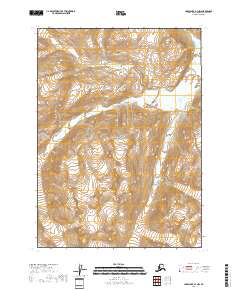
2018 · Lake Clark A-1 NW
USGS Topo · 1:25,000
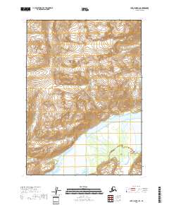
2018 · Lake Clark B-1 SE
USGS Topo · 1:25,000