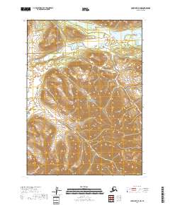
2018 Map of Lake Clark B-4 NW
USGS Topo · Published 2018About this map
Lake Clark National Preserve dominates the interior of this topographic study, revealing a landscape defined by glacial activity and high-altitude drainage systems. The northern reaches of the quadrangle are centered on the Little Mulchatna River, which meanders through a valley floor bordered by rising elevations. To the east, Fishtrap Lake sits at the base of the mountains, illustrating the typical hydrography of the Lake and Peninsula Borough before modern development reached this wilderness. The terrain is marked by the complex intersection of several township boundaries, including t5n r30w and t4n r29w, providing a precise framework for understanding the geography of this protected Alaskan corridor as it stood in the early 21st century.
Find a feature on this map
9 named features on this map. Tap any name to fly to it.
Don’t see what you’re looking for? This feature index may not catch every label — zoom into the map to look around manually.
Map Details
Editions of this 2018 Lake Clark B-4 NW Map
This is the sole edition of this map. No revisions or reprints were ever made.
Other maps of this area

1946 · Lake Clark
USGS Topo · 1:250,000

1951 · Lake Clark
USGS Topo · 1:250,000

1954 · Lake Clark C-4
USGS Topo · 1:63,360

1954 · Lake Clark B-5
USGS Topo · 1:63,360

1954 · Lake Clark C-5
USGS Topo · 1:63,360

1954 · Lake Clark B-4
USGS Topo · 1:63,360

1958 · Lake Clark
USGS Topo · 1:250,000
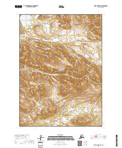
2018 · Lake Clark C-4 SE
USGS Topo · 1:25,000
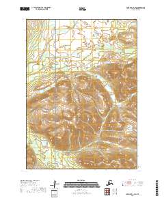
2018 · Lake Clark C-4 SW
USGS Topo · 1:25,000
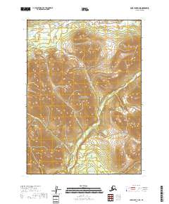
2018 · Lake Clark B-4 NE
USGS Topo · 1:25,000