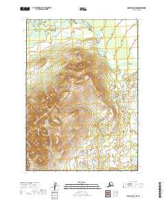
2019 Map of Lake Clark B-7 NW
USGS Topo · Published 2019About this map
The Chilchitna River defines the drainage pattern of this landscape in the Lake and Peninsula Borough. Flowing across the northern and eastern portions of the terrain, the river is the primary natural landmark in a region characterized by its high-altitude contours and lack of established road infrastructure. The eastern edge of the quadrangle is marked by Nikadavna Cr, which feeds into the larger river system. This area remains largely defined by its natural watercourses and the Public Land Survey System boundaries, such as t4n r36w and t5n r36w, which provide the only structural framework for this part of the Alaskan interior. The map illustrates a landscape shaped by hydrography rather than human settlement, preserving the state of the river valleys as they were documented in the late 2010s.
Find a feature on this map
8 named features on this map. Tap any name to fly to it.
Don’t see what you’re looking for? This feature index may not catch every label — zoom into the map to look around manually.
Map Details
Editions of this 2019 Lake Clark B-7 NW Map
This is the sole edition of this map. No revisions or reprints were ever made.
Other maps of this area

1946 · Lake Clark
USGS Topo · 1:250,000

1951 · Lake Clark
USGS Topo · 1:250,000

1954 · Lake Clark C-7
USGS Topo · 1:63,360

1954 · Lake Clark C-8
USGS Topo · 1:63,360
1954 · Lake Clark B-8
USGS Topo · 1:63,360
1954 · Lake Clark B-7
USGS Topo · 1:63,360

1958 · Lake Clark
USGS Topo · 1:250,000
2019 · Lake Clark C-7 SE
USGS Topo · 1:25,000
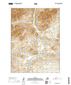
2019 · Lake Clark B-8 SE
USGS Topo · 1:25,000
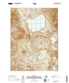
2019 · Lake Clark B-7 SE
USGS Topo · 1:25,000