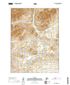
2019 Map of Lake Clark B-8 SE
USGS Topo · Published 2019About this map
The Chulitna River and Keefer Cr dominate this section of the Lake and Peninsula Borough, captured during a 2019 survey. The drainage patterns shown here illustrate the complex hydrology typical of this interior Alaskan region, where numerous unnamed lakes and ponds dot the landscape between the established watercourses. Land ownership and administrative boundaries are clearly delineated through the Public Land Survey System grid, specifically within the townships of t3n r37w and t2n r37w. This map serves as a primary record of the terrain and water systems as they existed in the late 2010s, reflecting a landscape primarily defined by its natural water features and lack of developed infrastructure.
Find a feature on this map
6 named features on this map. Tap any name to fly to it.
Don’t see what you’re looking for? This feature index may not catch every label — zoom into the map to look around manually.
Map Details
Editions of this 2019 Lake Clark B-8 SE Map
This is the sole edition of this map. No revisions or reprints were ever made.
Other maps of this area

1946 · Lake Clark
USGS Topo · 1:250,000

1951 · Lake Clark
USGS Topo · 1:250,000

1954 · Lake Clark A-7
USGS Topo · 1:63,360

1954 · Lake Clark A-8
USGS Topo · 1:63,360
1954 · Lake Clark B-8
USGS Topo · 1:63,360
1954 · Lake Clark B-7
USGS Topo · 1:63,360

1958 · Lake Clark
USGS Topo · 1:250,000
2019 · Lake Clark B-8 NW
USGS Topo · 1:25,000
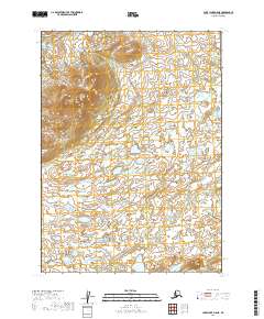
2019 · Lake Clark A-8 NE
USGS Topo · 1:25,000
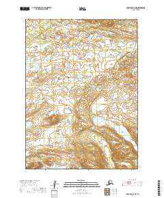
2019 · Lake Clark A-7 NW
USGS Topo · 1:25,000