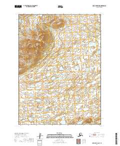
2019 Map of Lake Clark A-8 NE
USGS Topo · Published 2019About this map
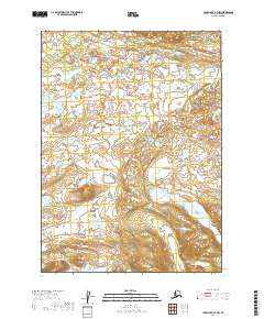
The Chulitna River winds through this expanse of the Lake and Peninsula Borough, defining a complex landscape of wetlands and interwoven waterways. This 2019 survey captures the wilderness character of the region, where numerous unnamed ponds and small lakes saturate the lowlands between subtle topographical rises. In the northwestern corner, the terrain begins to climb toward more significant elevations near Keefer Cr, contrasting with the saturated river valley to the east.
Find a feature on this map
7 named features on this map. Tap any name to fly to it.
Don’t see what you’re looking for? This feature index may not catch every label — zoom into the map to look around manually.
Map Details
Editions of this 2019 Lake Clark A-8 NE Map
This is the sole edition of this map. No revisions or reprints were ever made.
Other maps of this area

1946 · Lake Clark
USGS Topo · 1:250,000

1951 · Lake Clark
USGS Topo · 1:250,000

1954 · Lake Clark A-7
USGS Topo · 1:63,360

1954 · Lake Clark A-8
USGS Topo · 1:63,360
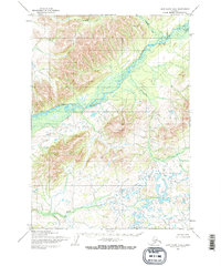
1954 · Lake Clark B-8
USGS Topo · 1:63,360
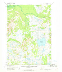
1954 · Lake Clark B-7
USGS Topo · 1:63,360

1958 · Lake Clark
USGS Topo · 1:250,000
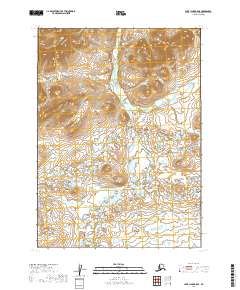
2019 · Lake Clark B-8 SE
USGS Topo · 1:25,000
2019 · Lake Clark A-7 NW
USGS Topo · 1:25,000
2019 · Lake Clark A-8 SE
USGS Topo · 1:25,000