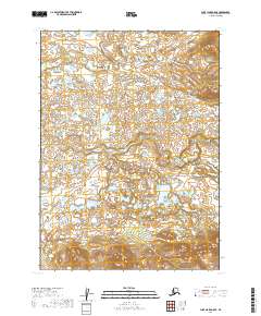
2019 Map of Lake Clark A-8 SE
USGS Topo · Published 2019About this map
The Chulitna River winds through this expanse of the Lake and Peninsula Borough, defining a landscape of complex water systems and topographic variation. This 2019 survey documents the river as it meanders across the northwestern and central portions of the quadrangle, illustrating the intricate drainage patterns and numerous small ponds characteristic of this Alaskan interior. The terrain transitions from relatively flat wetlands in the west toward more pronounced elevation gains in the east, where the contour lines tighten significantly.
Find a feature on this map
5 named features on this map. Tap any name to fly to it.
Don’t see what you’re looking for? This feature index may not catch every label — zoom into the map to look around manually.
Map Details
Editions of this 2019 Lake Clark A-8 SE Map
This is the sole edition of this map. No revisions or reprints were ever made.
Other maps of this area

1946 · Lake Clark
USGS Topo · 1:250,000

1951 · Lake Clark
USGS Topo · 1:250,000

1952 · Iliamna
USGS Topo · 1:250,000

1954 · Lake Clark A-7
USGS Topo · 1:63,360

1954 · Lake Clark A-8
USGS Topo · 1:63,360

1954 · Iliamna D-8
USGS Topo · 1:63,360

1954 · Iliamna D-7
USGS Topo · 1:63,360

1957 · Iliamna
USGS Topo · 1:250,000

1958 · Lake Clark
USGS Topo · 1:250,000
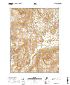
2019 · Iliamna D-7 NW
USGS Topo · 1:25,000