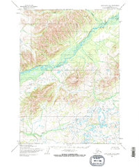
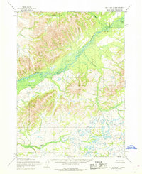
1954 Map of Lake Clark B-8
USGS Topo · Published 1968About this map
The Mulchatna River and Chilchitna River define this corner of the Alaskan interior as it was documented in the mid-1950s. The landscape is characterized by a complex network of braided river channels and glacial meltwater features, with significant high ground rising toward an Overlook in the central eastern portion of the quadrangle. While largely wilderness, the presence of Cabins along the northern bank of the Mulchatna River suggests early-century habitation or seasonal use by hunters and trappers. In the southern reach, Keefer Creek winds through a dense field of small kettle lakes and wetlands, illustrating the post-glacial drainage patterns typical of this region. Mapping here relied on photogrammetric methods from aerial surveys conducted by the Army Map Service, documenting a vast, unsurveyed territory where land lines were predetermined by the Bureau of Land Management rather than marked on the ground.
Find a feature on this map
6 named features on this map. Tap any name to fly to it.
Don’t see what you’re looking for? This feature index may not catch every label — zoom into the map to look around manually.
Map Details
Editions of this 1954 Lake Clark B-8 Map
2 editions found
Other maps of this area

1946 · Lake Clark
USGS Topo · 1:250,000

1950 · Taylor Mountains
USGS Topo · 1:250,000

1951 · Lake Clark
USGS Topo · 1:250,000

1951 · Taylor Mountains
USGS Topo · 1:250,000

1954 · Lake Clark C-7
USGS Topo · 1:63,360

1954 · Lake Clark A-7
USGS Topo · 1:63,360

1954 · Lake Clark A-8
USGS Topo · 1:63,360

1954 · Lake Clark C-8
USGS Topo · 1:63,360

1954 · Taylor Mountains
USGS Topo · 1:250,000

1954 · Taylor Mountains C-1
USGS Topo · 1:63,360