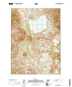
2019 Map of Lake Clark B-7 SE
USGS Topo · Published 2019About this map
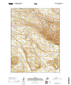
Tutna Lake dominates this glacial landscape within the Lake and Peninsula Borough of Alaska. The terrain is characterized by a high-altitude plateau, most notably at Mesa Mtn, which rises sharply to the northeast. A network of alpine drainage systems, including Nikadavna Cr feeding into the lake from the north and Black Cr meandering through the southern reaches, defines the hydrology of the area. This 2019 survey documents the region's topography according to the Public Land Survey System, spanning townships t3n r35w and t2n r35w. The map preserves the pristine hydrographic patterns of the Alaskan interior, showing a complex web of seasonal wetlands and small, unnamed ponds surrounding the primary water bodies.
Find a feature on this map
8 named features on this map. Tap any name to fly to it.
Don’t see what you’re looking for? This feature index may not catch every label — zoom into the map to look around manually.
Map Details
Editions of this 2019 Lake Clark B-7 SE Map
This is the sole edition of this map. No revisions or reprints were ever made.
Other maps of this area

1946 · Lake Clark
USGS Topo · 1:250,000

1951 · Lake Clark
USGS Topo · 1:250,000

1954 · Lake Clark A-7
USGS Topo · 1:63,360

1954 · Lake Clark A-6
USGS Topo · 1:63,360

1954 · Lake Clark B-6
USGS Topo · 1:63,360
1954 · Lake Clark B-7
USGS Topo · 1:63,360

1958 · Lake Clark
USGS Topo · 1:250,000
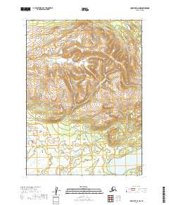
2019 · Lake Clark A-6 NW
USGS Topo · 1:25,000
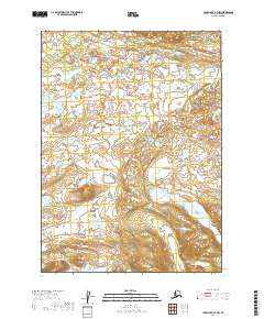
2019 · Lake Clark A-7 NW
USGS Topo · 1:25,000
2019 · Lake Clark A-7 NE
USGS Topo · 1:25,000