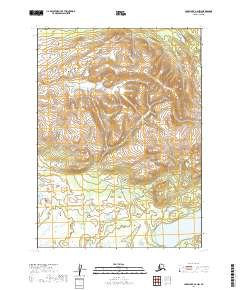
2019 Map of Lake Clark A-6 NW
USGS Topo · Published 2019About this map
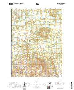
Long Lake anchors the southeastern corner of this Alaskan interior terrain, where the landscape transitions from the high, relief-heavy ridges of the north to the extensive wetland complexes of the south. These low-lying areas, documented by the FWS National Wetlands Inventory, reflect a complex system of marshes and small water bodies that dominate the drainage patterns across the southern sections of the Lake and Peninsula Borough. The map's grid, based on the Bureau of Land Management Public Land Survey System, delineates townships including t2n r34w and t1n r33w, illustrating the formal administrative partitioning of this expansive wilderness. This combination of topographic relief and detailed wetland data provides a clear record of the area's hydrology and land-use designations as they stood in the early twenty-first century.
Find a feature on this map
5 named features on this map. Tap any name to fly to it.
Don’t see what you’re looking for? This feature index may not catch every label — zoom into the map to look around manually.
Map Details
Editions of this 2019 Lake Clark A-6 NW Map
This is the sole edition of this map. No revisions or reprints were ever made.
Other maps of this area

1946 · Lake Clark
USGS Topo · 1:250,000

1951 · Lake Clark
USGS Topo · 1:250,000

1954 · Lake Clark A-7
USGS Topo · 1:63,360

1954 · Lake Clark A-6
USGS Topo · 1:63,360

1954 · Lake Clark B-6
USGS Topo · 1:63,360
1954 · Lake Clark B-7
USGS Topo · 1:63,360

1958 · Lake Clark
USGS Topo · 1:250,000
2019 · Lake Clark B-7 SE
USGS Topo · 1:25,000
2019 · Lake Clark A-7 NE
USGS Topo · 1:25,000
2019 · Lake Clark A-6 SW
USGS Topo · 1:25,000