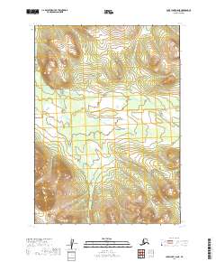
2019 Map of Lake Clark C-8 NE
USGS Topo · Published 2019About this map
Weasel Creek meanders through this undeveloped wilderness in the Lake and Peninsula Borough. The landscape is defined by its lack of human infrastructure, showing only the natural drainage patterns and topographical contours characteristic of this part of Alaska. This survey, compiled from data sources including the National Hydrography Dataset and SPOT imagery from 2010, provides a clear record of the watershed as it existed in the early 21st century. The map encompasses portions of Townships 6 through 8 North and Ranges 36 through 37 West, documenting a remote environment where the terrain remains the primary feature for navigators and environmental researchers.
Find a feature on this map
7 named features on this map. Tap any name to fly to it.
Don’t see what you’re looking for? This feature index may not catch every label — zoom into the map to look around manually.
Map Details
Editions of this 2019 Lake Clark C-8 NE Map
This is the sole edition of this map. No revisions or reprints were ever made.
Other maps of this area

1946 · Lake Clark
USGS Topo · 1:250,000

1951 · Lake Clark
USGS Topo · 1:250,000

1954 · Lake Clark C-7
USGS Topo · 1:63,360

1954 · Lake Clark C-8
USGS Topo · 1:63,360

1954 · Lake Clark D-8
USGS Topo · 1:63,360

1954 · Lake Clark D-7
USGS Topo · 1:63,360

1958 · Lake Clark
USGS Topo · 1:250,000
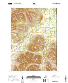
2019 · Lake Clark C-8 NW
USGS Topo · 1:25,000
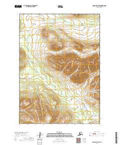
2019 · Lake Clark D-7 SW
USGS Topo · 1:25,000
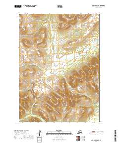
2019 · Lake Clark C-8 SE
USGS Topo · 1:25,000