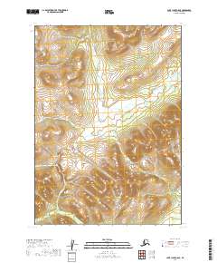
2019 Map of Lake Clark C-8 SE
USGS Topo · Published 2019About this map
High-altitude waterways and unnamed peaks define the wilderness landscape of the Lake and Peninsula Borough in this 2019 survey. The drainage patterns of the area are clearly illustrated by September Cr, which flows southwest from its source near Lake September. These features, along with Chanuk Cr and Sixtyfour Cr, reveal the intricate hydrology of the region as it existed in the early 21st century.
Find a feature on this map
10 named features on this map. Tap any name to fly to it.
Don’t see what you’re looking for? This feature index may not catch every label — zoom into the map to look around manually.
Map Details
Editions of this 2019 Lake Clark C-8 SE Map
This is the sole edition of this map. No revisions or reprints were ever made.
Other maps of this area

1946 · Lake Clark
USGS Topo · 1:250,000

1951 · Lake Clark
USGS Topo · 1:250,000

1954 · Lake Clark C-7
USGS Topo · 1:63,360

1954 · Lake Clark C-8
USGS Topo · 1:63,360
1954 · Lake Clark B-8
USGS Topo · 1:63,360
1954 · Lake Clark B-7
USGS Topo · 1:63,360

1958 · Lake Clark
USGS Topo · 1:250,000
2019 · Lake Clark B-8 NW
USGS Topo · 1:25,000
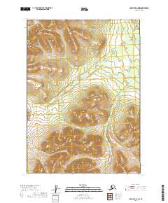
2019 · Lake Clark C-8 NW
USGS Topo · 1:25,000
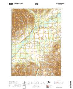
2019 · Lake Clark B-8 NE
USGS Topo · 1:25,000