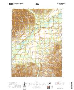
2019 Map of Lake Clark B-8 NE
USGS Topo · Published 2019About this map
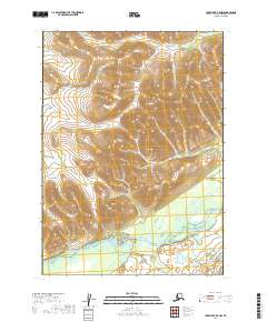
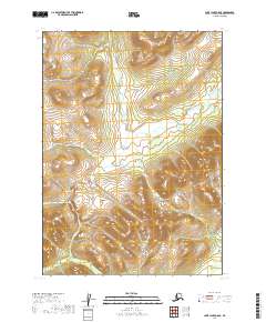
The Mulchatna River carves a meandering path through this high-latitude terrain, where glacial valleys and complex braiding define the landscape of the Lake Clark region. The river is joined by the Chilehitna River in the northeastern reaches of the sheet, while Springway Cr drains the elevated slopes to the north. This 2019 survey documents a vast, uninhabited environment where hydrology is the primary indicator of change, showing how these waterways shift and braid across the valley floors between the surveyed township lines of t5n r37w and t4n r37w. For researchers focusing on the Lake and Peninsula Borough, this map illustrates the contemporary state of these critical remote drainage systems and the surrounding topography before further natural shifts occur.
Find a feature on this map
9 named features on this map. Tap any name to fly to it.
Don’t see what you’re looking for? This feature index may not catch every label — zoom into the map to look around manually.
Map Details
Editions of this 2019 Lake Clark B-8 NE Map
This is the sole edition of this map. No revisions or reprints were ever made.
Other maps of this area

1946 · Lake Clark
USGS Topo · 1:250,000

1951 · Lake Clark
USGS Topo · 1:250,000

1954 · Lake Clark C-7
USGS Topo · 1:63,360

1954 · Lake Clark C-8
USGS Topo · 1:63,360
1954 · Lake Clark B-8
USGS Topo · 1:63,360
1954 · Lake Clark B-7
USGS Topo · 1:63,360

1958 · Lake Clark
USGS Topo · 1:250,000
2019 · Lake Clark B-8 SE
USGS Topo · 1:25,000
2019 · Lake Clark B-8 NW
USGS Topo · 1:25,000
2019 · Lake Clark C-8 SE
USGS Topo · 1:25,000