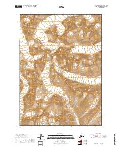
2018 Map of Lake Clark D-1 SW
USGS Topo · Published 2018About this map
High-altitude glacial terrain and tectonic boundaries characterize this portion of Lake Clark National Park in the Kenai Peninsula Borough. The 2018 survey reveals a landscape defined by dramatic elevation changes, with contours marking numerous unnamed peaks and ridgelines. As part of the Lake Clark National Park, this area remains largely undeveloped, serving as a critical example of the protected Alaskan wilderness. The map details the Public Land Survey System grid, specifically identifying the boundaries for t9n r23w, t9n r22w, t8n r23w, and t8n r22w. These designations provide a window into how the federal government partitioned this remote interior long before modern satellite imagery could precisely map its complex topography.
Find a feature on this map
5 named features on this map. Tap any name to fly to it.
Don’t see what you’re looking for? This feature index may not catch every label — zoom into the map to look around manually.
Map Details
Editions of this 2018 Lake Clark D-1 SW Map
This is the sole edition of this map. No revisions or reprints were ever made.
Other maps of this area

1946 · Lake Clark
USGS Topo · 1:250,000

1951 · Lake Clark
USGS Topo · 1:250,000
1958 · Lake Clark D-2
USGS Topo · 1:63,360

1958 · Lake Clark C-2
USGS Topo · 1:63,360
1958 · Lake Clark D-1
USGS Topo · 1:63,360
1958 · Lake Clark C-1
USGS Topo · 1:63,360

1958 · Lake Clark
USGS Topo · 1:250,000
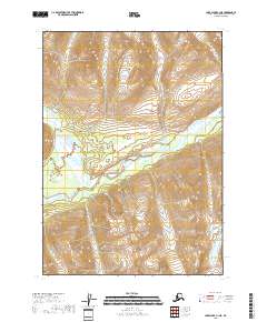
2018 · Lake Clark C-1 NE
USGS Topo · 1:25,000

2018 · Lake Clark D-1 NW
USGS Topo · 1:25,000
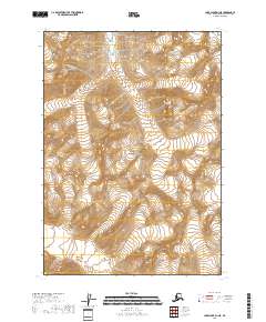
2018 · Lake Clark D-1 NE
USGS Topo · 1:25,000