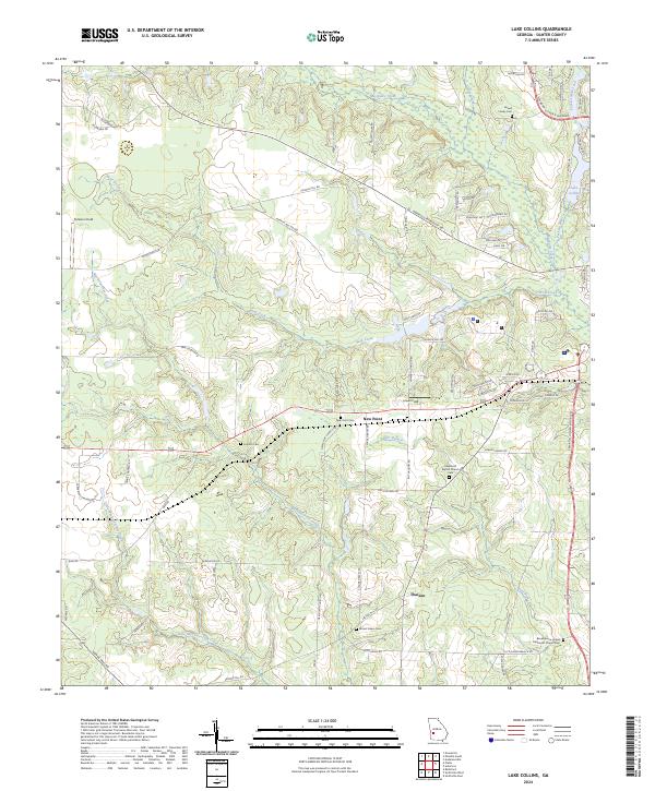
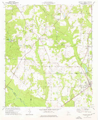
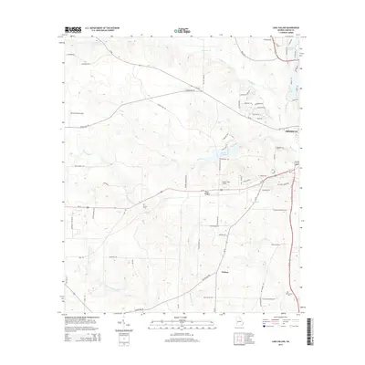
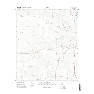
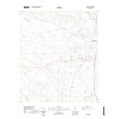
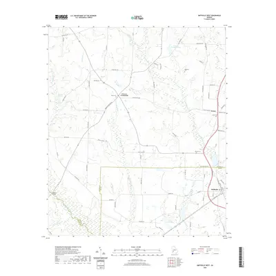
2024 Map of Lake Collins
USGS Topo · Published 2024About this map
Muckalee Creek and its many tributaries, including Wolf Creek and Bear Branch, carve a dense drainage network across this Sumter County landscape. The area is characterized by scattered small settlements like New Point and Thalean, connected by a web of rural roads such as Youngs Mill Rd and Salters Mill Rd. This 2024 survey reveals a community deeply rooted in its local history, evidenced by numerous family and church burial grounds including the Howell Family Cem, Antioch Cem, and Mount Salem Cem.
Find a feature on this map
74 named features on this map. Tap any name to fly to it.
Don’t see what you’re looking for? This feature index may not catch every label — zoom into the map to look around manually.
Map Details
Editions of this 2024 Lake Collins Map
This is the sole edition of this map. No revisions or reprints were ever made.
Historical Maps of Americus Through Time
24 maps found
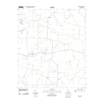
1972 Methvins
Sumter County, GA
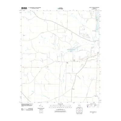
1973 Lake Collins
Sumter County, GA
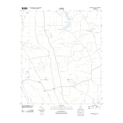
1973 Smithville East
Sumter County, GA
1973 Smithville West
Sumter County, GA
2011 Lake Collins
Sumter County, GA
2011 Methvins
Sumter County, GA
2011 Smithville East
Sumter County, GA
2011 Smithville West
Sumter County, GA
2014 Lake Collins
Sumter County, GA
2014 Methvins
Sumter County, GA
2014 Smithville East
Sumter County, GA
2014 Smithville West
Sumter County, GA
2017 Lake Collins
Sumter County, GA
2017 Methvins
Sumter County, GA
2017 Smithville East
Sumter County, GA
2017 Smithville West
Sumter County, GA
2020 Lake Collins
Sumter County, GA
2020 Methvins
Sumter County, GA
2020 Smithville East
Sumter County, GA
2020 Smithville West
Sumter County, GA
2024 Lake Collins
Sumter County, GA
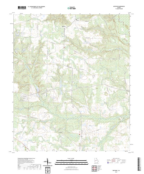
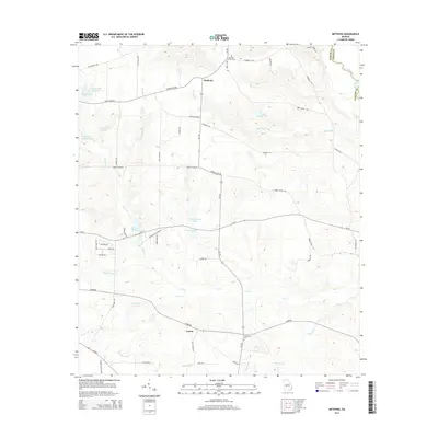
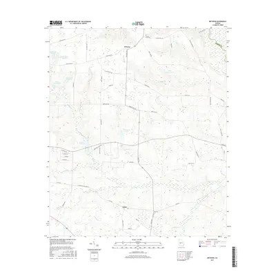
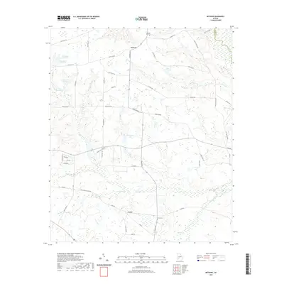
2024 Methvins
Sumter County, GA
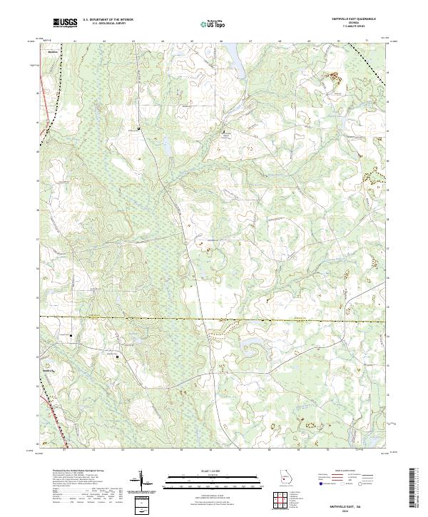
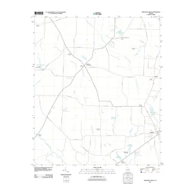
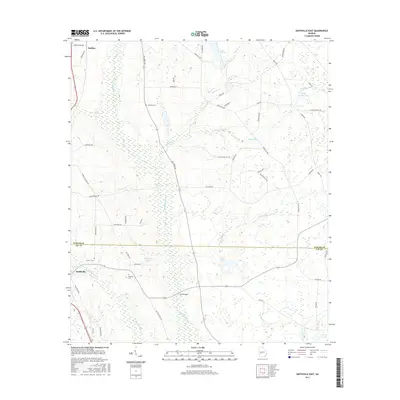
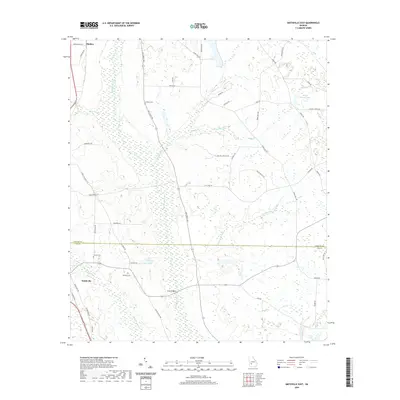
2024 Smithville East
Sumter County, GA
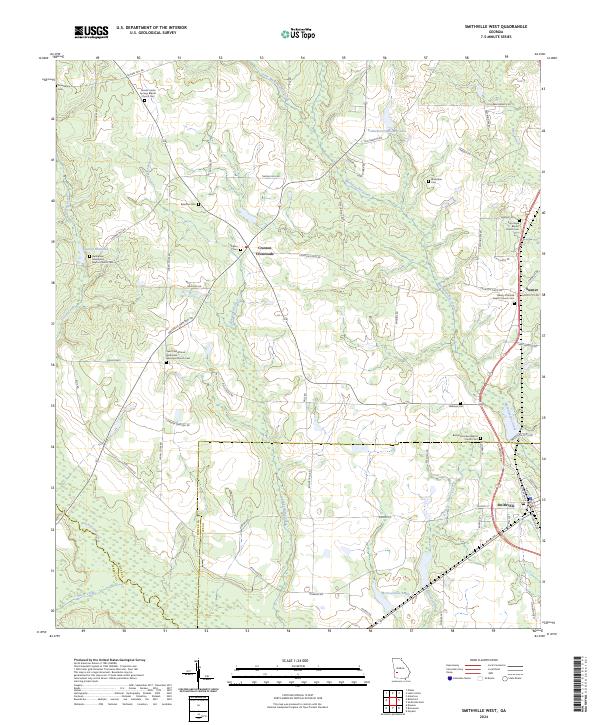
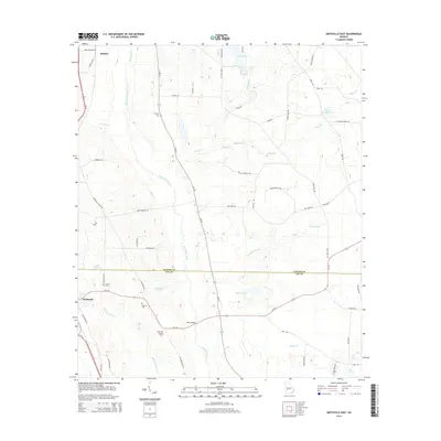
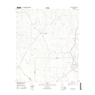
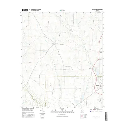
2024 Smithville West
Sumter County, GA