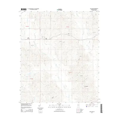
2015 Map of Lake Como
USGS Topo · Published 2015About this map
Lake Como and the surrounding piney woods of Jasper County are defined by a network of creeks and small farming settlements. The landscape is drained by Tallahoma Cr and Nuakfuppa Cr, where local roads like CR-5288 and CR-5286 connect long-standing community centers. These rural hubs are often anchored by local burying grounds, such as Lake Como Cem and the Mount Pleasant Cem further south.
Find a feature on this map
61 named features on this map. Tap any name to fly to it.
Don’t see what you’re looking for? This feature index may not catch every label — zoom into the map to look around manually.
Map Details
Editions of this 2015 Lake Como Map
This is the sole edition of this map. No revisions or reprints were ever made.
Other maps of this area

1953 · Hattiesburg
USGS Topo · 1:250,000

1953 · Meridian
USGS Topo · 1:250,000

1957 · Meridian
USGS Topo · 1:250,000

1958 · Hattiesburg
USGS Topo · 1:250,000

1963 · Waldrup
USGS Topo · 1:24,000

1964 · Moss
USGS Topo · 1:24,000

1964 · Sandersville
USGS Topo · 1:24,000

1964 · Lake Como
USGS Topo · 1:24,000

1965 · Meridian
USGS Topo · 1:250,000

1968 · Louin
USGS Topo · 1:24,000