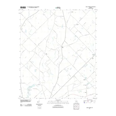
2011 Map of Lake Cypress
USGS Topo · Published 2011About this map
Lake Cypress and its accompanying Lake Cypress Dam anchor the southwestern corner of this South Georgia landscape, where the Cypress River and Crooked Creek define the drainage patterns. This 2011 survey documents a primarily rural and agricultural network of roads, including Isham Springs Rd and Benevolence Rd, connecting small settlements like Five Points and Ararat. The area is notably punctuated by several family and community burial grounds, such as the Old Fair Haven Cemetery, Burney Cooper Cemetery, and Ruth Prince Cemetery, which serve as vital markers for local genealogists.
Find a feature on this map
63 named features on this map. Tap any name to fly to it.
Don’t see what you’re looking for? This feature index may not catch every label — zoom into the map to look around manually.
Map Details
Editions of this 2011 Lake Cypress Map
This is the sole edition of this map. No revisions or reprints were ever made.
Other maps of this area

1953 · Waycross
USGS Topo · 1:250,000

1957 · Macon
USGS Topo · 1:250,000

1958 · Macon
USGS Topo · 1:250,000

1958 · Waycross
USGS Topo · 1:250,000

1964 · Macon
USGS Topo · 1:250,000

1972 · Eastman
USGS Topo · 1:24,000

1972 · West Of Eastman
USGS Topo · 1:24,000

1972 · Cooks Still
USGS Topo · 1:24,000

1972 · Jay Bird Springs
USGS Topo · 1:24,000

1972 · Abbeville North
USGS Topo · 1:24,000