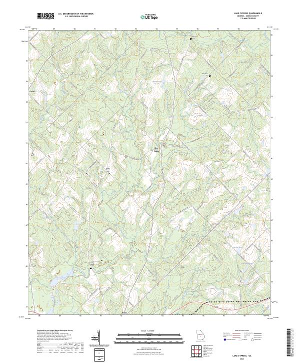
2024 Map of Lake Cypress
USGS Topo · Published 2024About this map
The town of Rhine anchors the southern edge of this Dodge County landscape, where the local road network follows the winding course of Crooked Creek and the Cypress River. This modern survey reveals a rural territory defined by a pattern of family-named road systems and numerous small burial grounds that speak to the area's genealogical depth. Features such as Old Fair Haven Cem and Ruth Prince Cem are preserved among the drainage basins of Lake Cypress and Peterson Pond. The map illustrates a contemporary view of small crossroads communities like Five Points and Union, showing how modern transport routes like Ross-Stapleton Rd and Milan Eastman Rd have integrated with older land divisions near Jamieson Pond.
Find a feature on this map
66 named features on this map. Tap any name to fly to it.
Don’t see what you’re looking for? This feature index may not catch every label — zoom into the map to look around manually.
Map Details
Editions of this 2024 Lake Cypress Map
This is the sole edition of this map. No revisions or reprints were ever made.
Other maps of this area

1953 · Waycross
USGS Topo · 1:250,000

1957 · Macon
USGS Topo · 1:250,000

1958 · Macon
USGS Topo · 1:250,000

1958 · Waycross
USGS Topo · 1:250,000

1964 · Macon
USGS Topo · 1:250,000

1972 · Eastman
USGS Topo · 1:24,000

1972 · West Of Eastman
USGS Topo · 1:24,000

1972 · Cooks Still
USGS Topo · 1:24,000

1972 · Jay Bird Springs
USGS Topo · 1:24,000

1972 · Abbeville North
USGS Topo · 1:24,000