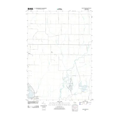
2010 Map of Lake Dexter
USGS Topo · Published 2010About this map
Saint Johns Cemetery sits centrally within this landscape, serving the surrounding rural community north of Dexterville. The area is defined by a dense network of watercourses, including the southward-flowing Hemlock Creek, Little Hemlock Creek, and Owl Creek, which converge as they approach the Yellow River. In the southwest corner, the Dexterville 2WP1566 Dam regulates the river flow, creating a distinct hydrological focal point for the region. The map captures the transition from the structured residential blocks of Pittsville in the west to the broader agricultural grid defined by Grant Rd and County Hwy-E. This 2010 survey reflects the established road network and rural property divisions of Wood County, showing how the land has been organized around its primary tributaries and small settlements.
Find a feature on this map
34 named features on this map. Tap any name to fly to it.
Don’t see what you’re looking for? This feature index may not catch every label — zoom into the map to look around manually.
Map Details
Editions of this 2010 Lake Dexter Map
This is the sole edition of this map. No revisions or reprints were ever made.
Other maps of this area

1953 · Eau Claire
USGS Topo · 1:250,000

1954 · Marshfield
USGS Topo · 1:62,500

1955 · Green Bay
USGS Topo · 1:250,000

1956 · Milladore
USGS Topo · 1:48,000

1957 · Wisconsin Rapids
USGS Topo · 1:48,000

1957 · Pittsville
USGS Topo · 1:48,000

1958 · Eau Claire
USGS Topo · 1:250,000

1964 · Eau Claire
USGS Topo · 1:250,000

1967 · Wisconsin Rapids
USGS Topo · 1:62,500

1967 · Pittsville
USGS Topo · 1:62,500