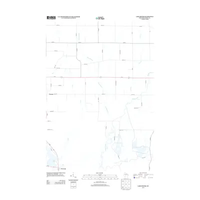
2013 Map of Lake Dexter
USGS Topo · Published 2013About this map
Pittsville anchors the western edge of this Wood County landscape, where the agricultural grid meets the winding drainages of the Central Wisconsin Sand Plain. The terrain is defined by a dense network of seasonal and perennial waterways, most notably Hemlock Creek and its tributary Little Hemlock Cr, which meander through a series of section-line roads and rural corridors like Grant Rd and Co HWY-E. To the southwest, the waters of Lake Dexter form a prominent reservoir along Wi-80, providing a focal point for the surrounding lowlands. The 2013 survey illustrates the enduring rural character of the area, where long-established farm roads like Hickory Rd and Sunset Rd divide a landscape of woodlots and open fields, preserving the historical settlement patterns of the region's dairy and timber heritage.
Find a feature on this map
39 named features on this map. Tap any name to fly to it.
Don’t see what you’re looking for? This feature index may not catch every label — zoom into the map to look around manually.
Map Details
Editions of this 2013 Lake Dexter Map
This is the sole edition of this map. No revisions or reprints were ever made.
Other maps of this area

1953 · Eau Claire
USGS Topo · 1:250,000

1954 · Marshfield
USGS Topo · 1:62,500

1955 · Green Bay
USGS Topo · 1:250,000

1956 · Milladore
USGS Topo · 1:48,000

1957 · Wisconsin Rapids
USGS Topo · 1:48,000

1957 · Pittsville
USGS Topo · 1:48,000

1958 · Eau Claire
USGS Topo · 1:250,000

1964 · Eau Claire
USGS Topo · 1:250,000

1967 · Wisconsin Rapids
USGS Topo · 1:62,500

1967 · Pittsville
USGS Topo · 1:62,500