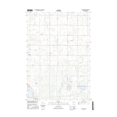
2015 Map of Lake Dexter
USGS Topo · Published 2015About this map
Lake Dexter and its surrounding wetlands form the center of this Wood County landscape, where the Hemlock Creek watershed drains southward toward the Yellow River basin. In the northern reaches, the community of Pittsville sits at the intersection of several rural routes including Jackson St and Lincoln Rd, while the smaller settlement of Dexterville anchors the southern end of the map near the lake's dam.
Find a feature on this map
47 named features on this map. Tap any name to fly to it.
Don’t see what you’re looking for? This feature index may not catch every label — zoom into the map to look around manually.
Map Details
Editions of this 2015 Lake Dexter Map
This is the sole edition of this map. No revisions or reprints were ever made.
Other maps of this area

1953 · Eau Claire
USGS Topo · 1:250,000

1954 · Marshfield
USGS Topo · 1:62,500

1955 · Green Bay
USGS Topo · 1:250,000

1956 · Milladore
USGS Topo · 1:48,000

1957 · Wisconsin Rapids
USGS Topo · 1:48,000

1957 · Pittsville
USGS Topo · 1:48,000

1958 · Eau Claire
USGS Topo · 1:250,000

1964 · Eau Claire
USGS Topo · 1:250,000

1967 · Wisconsin Rapids
USGS Topo · 1:62,500

1967 · Pittsville
USGS Topo · 1:62,500