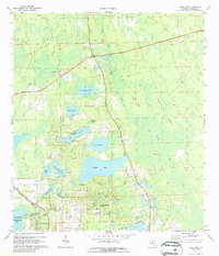
1971 Map of Lake Dias
USGS Topo · Published 1987About this map
De Leon Springs and the neighboring De Leon Springs Heights sit at the southern edge of this Volusia County landscape, where the Seaboard Coast Line railroad runs parallel to the edge of the Lake Woodruff National Wildlife Refuge. The terrain is defined by a dense network of freshwater bodies, including the central Lake Dias and its namesake Lake Dias Cem, as well as Lake Winona featuring Camp Winona. The survey reveals a complex of named island-like higher ground within the wetlands, such as Heart Island, Banks Island, and Burned Out Island. These features, coupled with the presence of the Johnson Lake Cem and several jeep trails, suggest a region shaped by both recreational use and early rural settlement patterns. Drainage is documented through features like Deep Creek and Little Haw Creek, illustrating the intricate hydrology of the Florida interior before significant modern expansion.
Find a feature on this map
33 named features on this map. Tap any name to fly to it.
Don’t see what you’re looking for? This feature index may not catch every label — zoom into the map to look around manually.
Map Details
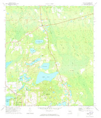
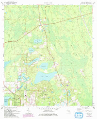
Editions of this 1971 Lake Dias Map
3 editions found
Other maps of this area

1937 · Ormond
USGS Topo · 1:48,000

1944 · Ormond
USGS Topo · 1:62,500

1954 · Daytona Beach
USGS Topo · 1:250,000

1956 · Favoretta
USGS Topo · 1:24,000

1958 · Daytona Beach
USGS Topo · 1:250,000

1962 · Daytona Beach NW
USGS Topo · 1:24,000

1962 · Daytona Beach SW
USGS Topo · 1:24,000

1962 · Lake Woodruff
USGS Topo · 1:24,000

1964 · Daytona Beach
USGS Topo · 1:250,000
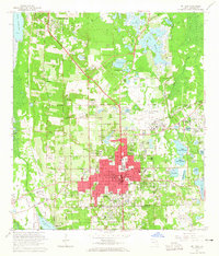
1964 · De Land
USGS Topo · 1:24,000