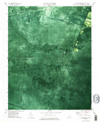
1977 Map of Lake Drummond NW
USGS Topo · Published 1987About this map
The Great Dismal Swamp dominates this landscape, showing the complex network of historic waterways that define this protected wilderness. In the late 1970s, the Great Dismal Swamp National Wildlife Refuge was managed through a system of geometric canals and drainage paths, many bearing the names of early land ventures and industrial efforts. Long, straight channels like Washington Ditch, Portsmouth Ditch, and Jericho Ditch cut through the dense vegetation, illustrating the massive hydrological engineering required to navigate and drain the wetlands.
Find a feature on this map
26 named features on this map. Tap any name to fly to it.
Don’t see what you’re looking for? This feature index may not catch every label — zoom into the map to look around manually.
Map Details
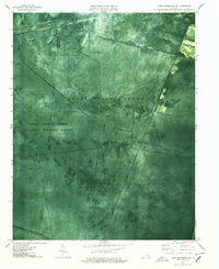
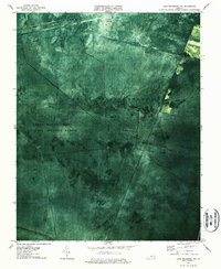
Editions of this 1977 Lake Drummond NW Map
3 editions found
Other maps of this area

1907 · Norfolk
USGS Topo · 1:125,000

1919 · Smithfield
USGS Topo · 1:62,500

1919 · Suffolk
USGS Topo · 1:62,500

1921 · Newport News
USGS Topo · 1:62,500

1940 · Lake Drummond
USGS Topo · 1:62,500

1944 · Norfolk South
USGS Topo · 1:25,000

1945 · Lake Drummond
USGS Topo · 1:62,500

1948 · Norfolk South
USGS Topo · 1:24,000

1949 · Chuckatuck
USGS Topo · 1:24,000
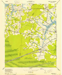
1952 · Bowers Hill
USGS Topo · 1:24,000