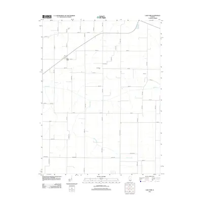
2012 Map of Lake Fork
USGS Topo · Published 2012About this map
Lake Fork serves as the focal point for this agrarian landscape in central Illinois, where the namesake watercourse and its tributary, Hunter Slough, meander through a strictly ordered grid of section roads. The map reveals a deeply rooted rural community evidenced by family-named landmarks and cemeteries, including Steenberger Cem, Carlyle Cem, and Bell Cem. These sites, along with the Post Office in the settlement of Lake Fork, suggest a stable population whose history is tied to the surrounding prairie. The transport network is dominated by a precise system of numbered avenues and streets, such as 1500th Ave and 350th St, which facilitate movement between farmsteads. Local history is further grounded in specific thoroughfares like Kent Farm Rd, Theobald Rd, and N Mt Pulaski Rd, which provide evidence of the families and nearby hubs that have shaped the township over generations.
Find a feature on this map
50 named features on this map. Tap any name to fly to it.
Don’t see what you’re looking for? This feature index may not catch every label — zoom into the map to look around manually.
Map Details
Editions of this 2012 Lake Fork Map
This is the sole edition of this map. No revisions or reprints were ever made.
Other maps of this area

1911 · Lincoln
USGS Topo · 1:62,500

1913 · Lincoln
USGS Topo · 1:62,500

1954 · Niantic
USGS Topo · 1:62,500

1954 · Mechanicsburg
USGS Topo · 1:62,500

1957 · Kenney
USGS Topo · 1:62,500

1958 · Peoria
USGS Topo · 1:250,000

1958 · Decatur
USGS Topo · 1:250,000

1961 · Peoria
USGS Topo · 1:250,000

1961 · Decatur
USGS Topo · 1:250,000

1963 · Peoria
USGS Topo · 1:250,000