
1961 Map of Lake Fremont
USGS Topo · Published 1963About this map
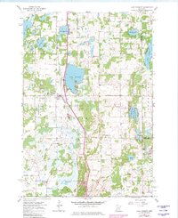
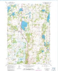
Lake Fremont (Zimmerman PO) serves as the central hub of this early 1960s landscape, positioned where the Great Northern railroad cuts through the heart of Sherburne County. The area is defined by a dense concentration of glacial lakes and wetlands, including the prominent Lake Fremont, Blue Lake, and the sprawling Rice Lake to the south. This terrain necessitated a complex network of drainage and conservation, evidenced by the Fremont Wildlife Management Area and the winding course of Tibbitts Brook.
Find a feature on this map
33 named features on this map. Tap any name to fly to it.
Don’t see what you’re looking for? This feature index may not catch every label — zoom into the map to look around manually.
Map Details
Editions of this 1961 Lake Fremont Map
3 editions found
Other maps of this area

1916 · St. Francis
USGS Topo · 1:62,500

1919 · St. Francis
USGS Topo · 1:62,500

1953 · Stillwater
USGS Topo · 1:250,000

1955 · Stillwater
USGS Topo · 1:250,000

1958 · Stillwater
USGS Topo · 1:250,000

1961 · Big Lake
USGS Topo · 1:24,000

1961 · Orrock
USGS Topo · 1:24,000

1961 · Elk River
USGS Topo · 1:24,000

1961 · Wyanett
USGS Topo · 1:24,000

1961 · Elk River
USGS Topo · 1:62,500