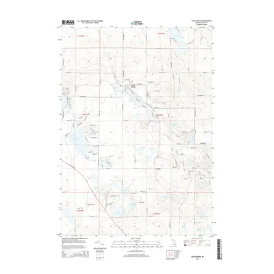
2014 Map of Lake George
USGS Topo · Published 2014About this map
Lake George sits at the heart of this landscape, a glaciated terrain defined by an exceptional density of kettle lakes and wetlands in Lincoln Township. The settlement of Phelps appears to the south, while the region is crisscrossed by a grid of rural routes including Mannsiding Rd and Jefferson Rd. This 2014 survey documents the enduring spatial layout of rural Clare County, where small water bodies like Lily Lake, Bungo Lake, and Bear Lake are the primary landmarks. For genealogists and local historians, the map identifies three distinct burial grounds: Lincoln Township Cem near the main townsite, Old Township Cem further south, and the more isolated Freeman Cem to the west. The drainage patterns of Shingle Cr and Hemlock Cr connect these disparate basins, illustrating the complex hydrology of central Michigan.
Find a feature on this map
54 named features on this map. Tap any name to fly to it.
Don’t see what you’re looking for? This feature index may not catch every label — zoom into the map to look around manually.
Map Details
Editions of this 2014 Lake George Map
This is the sole edition of this map. No revisions or reprints were ever made.
Other maps of this area

1954 · Traverse City
USGS Topo · 1:250,000

1954 · Midland
USGS Topo · 1:250,000

1957 · Harrison
USGS Topo · 1:62,500

1957 · Marion
USGS Topo · 1:62,500

1958 · Traverse City
USGS Topo · 1:250,000

1958 · Midland
USGS Topo · 1:250,000

1959 · Midland
USGS Topo · 1:250,000

1959 · Lake
USGS Topo · 1:62,500

1959 · Clare
USGS Topo · 1:62,500

1966 · Midland
USGS Topo · 1:250,000