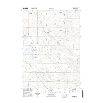
2017 Map of Lake George
USGS Topo · Published 2017About this map
Lake George sits at the heart of this central Michigan landscape, serving as a hub for the surrounding township. The map reveals a high density of glacial kettle lakes, from the large Doc and Tom Lake to the smaller Lily Lake and Shingle Lake, which define the local geography and settlement patterns. Residential clusters and recreational roads are woven between these water bodies, while the presence of the Lincoln Township Cem, Old Township Cem, and Freeman Cem provide essential anchor points for genealogical research in Lincoln and surrounding townships.
Find a feature on this map
124 named features on this map. Tap any name to fly to it.
Don’t see what you’re looking for? This feature index may not catch every label — zoom into the map to look around manually.
Map Details
Editions of this 2017 Lake George Map
This is the sole edition of this map. No revisions or reprints were ever made.
Other maps of this area

1954 · Traverse City
USGS Topo · 1:250,000

1954 · Midland
USGS Topo · 1:250,000

1957 · Harrison
USGS Topo · 1:62,500

1957 · Marion
USGS Topo · 1:62,500

1958 · Traverse City
USGS Topo · 1:250,000

1958 · Midland
USGS Topo · 1:250,000

1959 · Midland
USGS Topo · 1:250,000

1959 · Lake
USGS Topo · 1:62,500

1959 · Clare
USGS Topo · 1:62,500

1966 · Midland
USGS Topo · 1:250,000