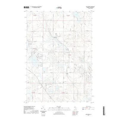
2019 Map of Lake George
USGS Topo · Published 2019About this map
Lake George sits at the heart of this Michigan landscape, a hub surrounded by a dense network of glacial water bodies and residential developments. The area's settlement history is evidenced by three distinct burial grounds: Freeman Cem, Lincoln Township Cem, and the Old Township Cem near the locality of Phelps. This 2019 survey shows a modern road network that follows the section lines of the original Public Land Survey System, including W Gladwin Rd and Monroe Rd, which cut through the forested terrain.
Find a feature on this map
129 named features on this map. Tap any name to fly to it.
Don’t see what you’re looking for? This feature index may not catch every label — zoom into the map to look around manually.
Map Details
Editions of this 2019 Lake George Map
This is the sole edition of this map. No revisions or reprints were ever made.
Other maps of this area

1954 · Traverse City
USGS Topo · 1:250,000

1954 · Midland
USGS Topo · 1:250,000

1957 · Harrison
USGS Topo · 1:62,500

1957 · Marion
USGS Topo · 1:62,500

1958 · Traverse City
USGS Topo · 1:250,000

1958 · Midland
USGS Topo · 1:250,000

1959 · Midland
USGS Topo · 1:250,000

1959 · Lake
USGS Topo · 1:62,500

1959 · Clare
USGS Topo · 1:62,500

1966 · Midland
USGS Topo · 1:250,000