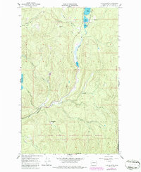
1966 Map of Lake Gillette
USGS Topo · Published 1986About this map
Little Pend Oreille River flows through a series of mountain lakes in this 1966 survey, revised in the early 1980s. The landscape is defined by the intersection of the Colville National Forest and Kaniksu National Forest, creating a heavily protected corridor for wildlife and timber. Settlement is sparse, represented by the small community of Hosmer and the high-elevation Scrabblers Flat near Scrabbler Mtn. The hydrology of the region is the central focus, with Lake Thomas, Lake Gillette, and Lake Sherry forming a prominent chain of water bodies in the northern section. Smaller basins like Coffin Lake and Black Lake sit tucked away in the higher terrain, while numerous tributaries such as Flodette Creek and South Fork Mill Creek drain the surrounding ridges. Small-scale industry is evident through a Gravel Pit near the river, suggesting the local maintenance of the forest road network.
Find a feature on this map
26 named features on this map. Tap any name to fly to it.
Don’t see what you’re looking for? This feature index may not catch every label — zoom into the map to look around manually.
Map Details
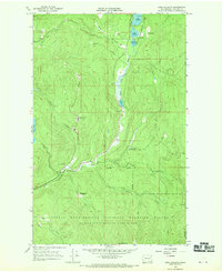
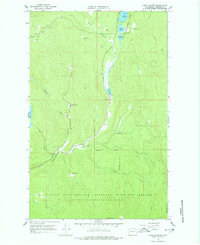
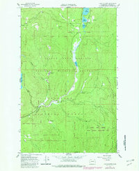
Editions of this 1966 Lake Gillette Map
4 editions found
Other maps of this area

1927 · Chewelah
USGS Topo · 1:125,000

1929 · Colville
USGS Topo · 1:125,000

1930 · Chewelah
USGS Topo · 1:125,000

1933 · Colville
USGS Topo · 1:125,000

1934 · Metaline
USGS Topo · 1:125,000

1936 · Newport
USGS Topo · 1:96,000

1942 · Metaline
USGS Topo · 1:125,000

1942 · Newport
USGS Topo · 1:125,000

1952 · Aladdin
USGS Topo · 1:24,000

1958 · Sandpoint
USGS Topo · 1:250,000