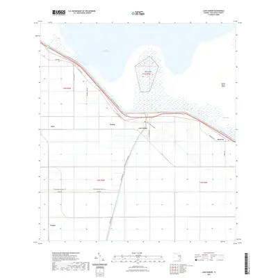
2021 Map of Lake Harbor
USGS Topo · Published 2021About this map
Lake Okeechobee dominates the northern horizon of this landscape, its shoreline bordered by the Florida National Scenic Trl and various coastal features like Coot Bay and South Bay. Small communities such as Lake Harbor, Bean City, and Watson are clustered along the southern rim of the lake, connected by a network of roads including Corkscrew Blvd and Old US Hwy 27. The area is defined by the intersection of water management and agriculture, most clearly seen in the path of the Miami Canal as it cuts south through the grid-patterned terrain.
Find a feature on this map
24 named features on this map. Tap any name to fly to it.
Don’t see what you’re looking for? This feature index may not catch every label — zoom into the map to look around manually.
Map Details
Editions of this 2021 Lake Harbor Map
This is the sole edition of this map. No revisions or reprints were ever made.
Other maps of this area

1956 · West Palm Beach
USGS Topo · 1:250,000

1957 · West Palm Beach
USGS Topo · 1:250,000

1958 · West Palm Beach
USGS Topo · 1:250,000

1970 · Lake Harbor
USGS Topo · 1:24,000

1970 · Belle Glade
USGS Topo · 1:24,000

1970 · Lake Harbor SE
USGS Topo · 1:24,000

1970 · Lake Harbor SW
USGS Topo · 1:24,000

1970 · Clewiston South
USGS Topo · 1:24,000

1970 · Okeelanta
USGS Topo · 1:24,000

1970 · Pahokee
USGS Topo · 1:24,000